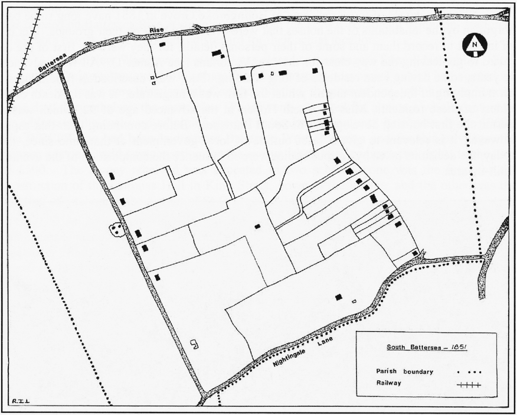
1851
Build 1 — 9 Aug 2026
Six sketch-maps by R.I.L., redrawn for Roger Logan’s Between the Commons: South Battersea’s Formative Years, 1851–1900 (Wandsworth Historical Society, Wandsworth Paper 15, 2007), extracted and presented here by Philip Boys, with AI-assisted image processing by Claude (Anthropic), August 2026. Published on behalf of the Wandsworth Historical Society.
[These six maps are drawn from the same source as our companion page, the full transcription of Roger Logan’s Between the Commons, where they appear individually as Figs. 2, 4, 6, 11, 13 and 15. Here they are brought together as a time series so the area’s transformation — from scattered farms and a handful of large houses to a fully built-up Victorian suburb — can be traced decade by decade. Drag the slider, use the arrow buttons, or click a year below the map to move between them.]
Full-resolution scan (600dpi): download this year’s map
All six maps are by R.I.L. and are reproduced from Roger Logan, Between the Commons (Wandsworth Historical Society, Wandsworth Paper 15, 2007). See the full transcription for the complete text, including the chapters these captions are drawn from, the book’s other nine figures, and the four data annexes.