The History of Wandsworth Common
IN PROGRESS — NOT FOR PUBLICATION
MAP SEQUENCE SHOWING
5-HOUSES / BOLINGBROKE GROVE
(Click on image to enlarge)
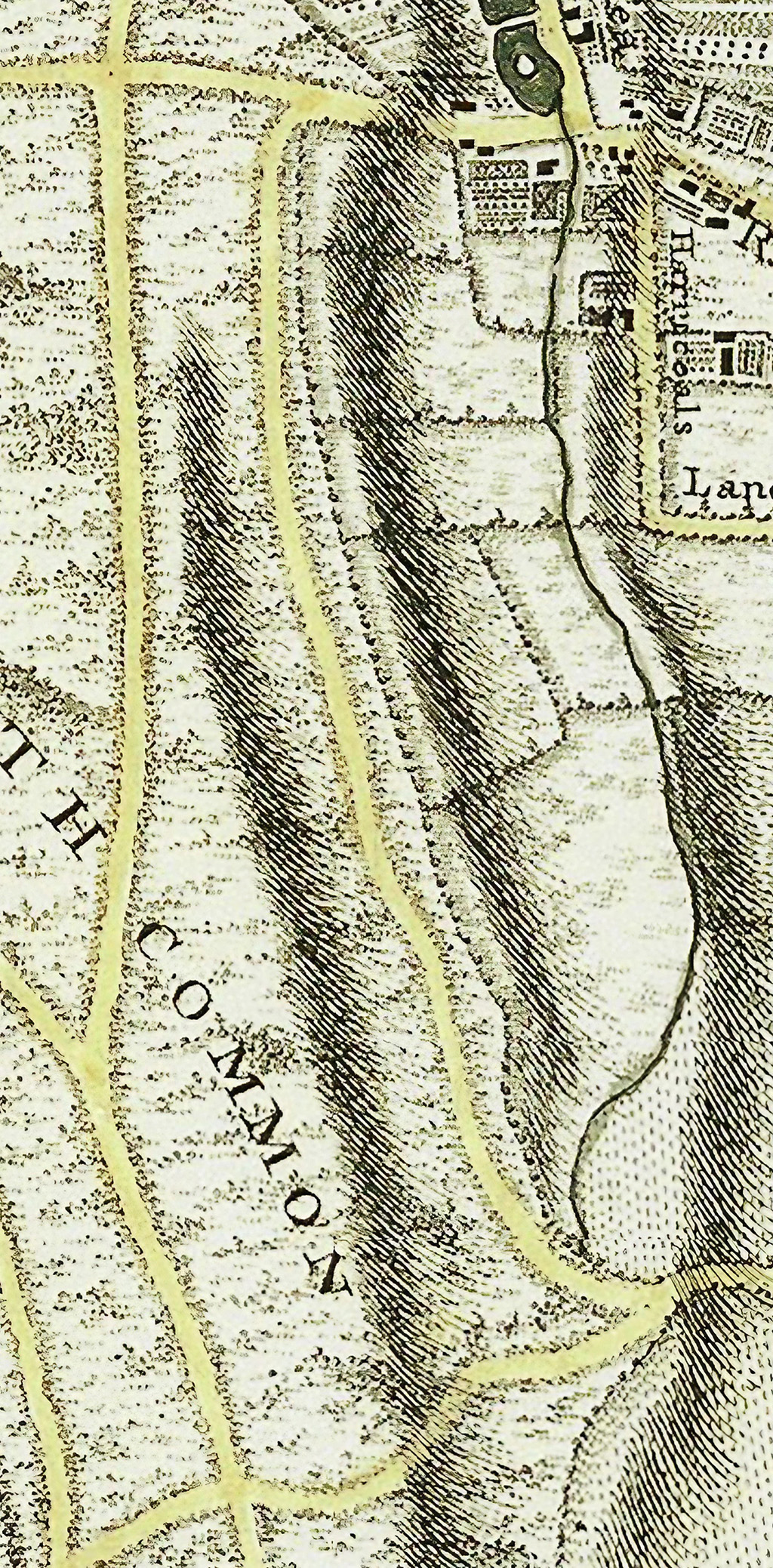
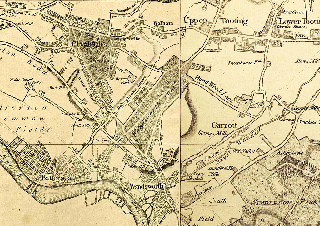
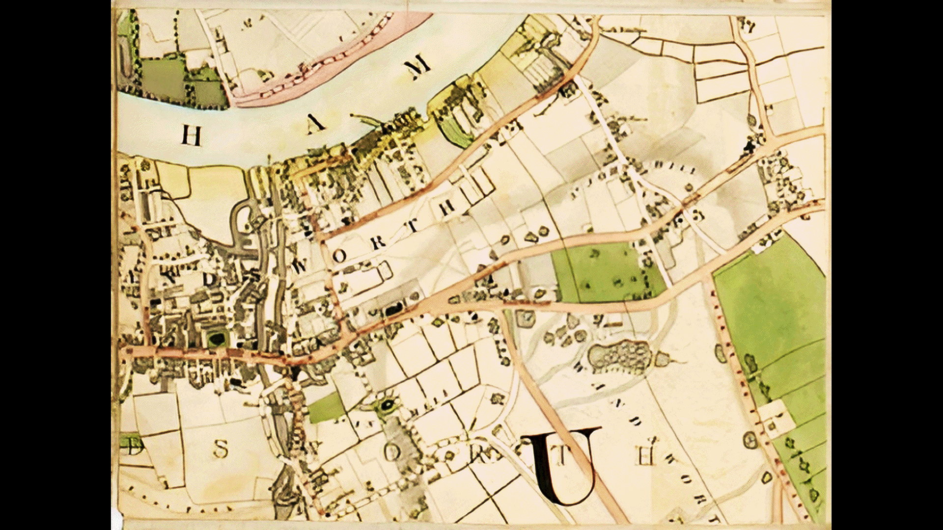
Corris, 1787
[Notice creeping enclosure - at the front of the 5 houses, land is being taken from the Common right up to the road (the future "Bolingbroke Grove").]
Also the neat row of trees on the west of the road - presumably the famous "Grove"? They're usually described as Elms.
(Click on image to enlarge)
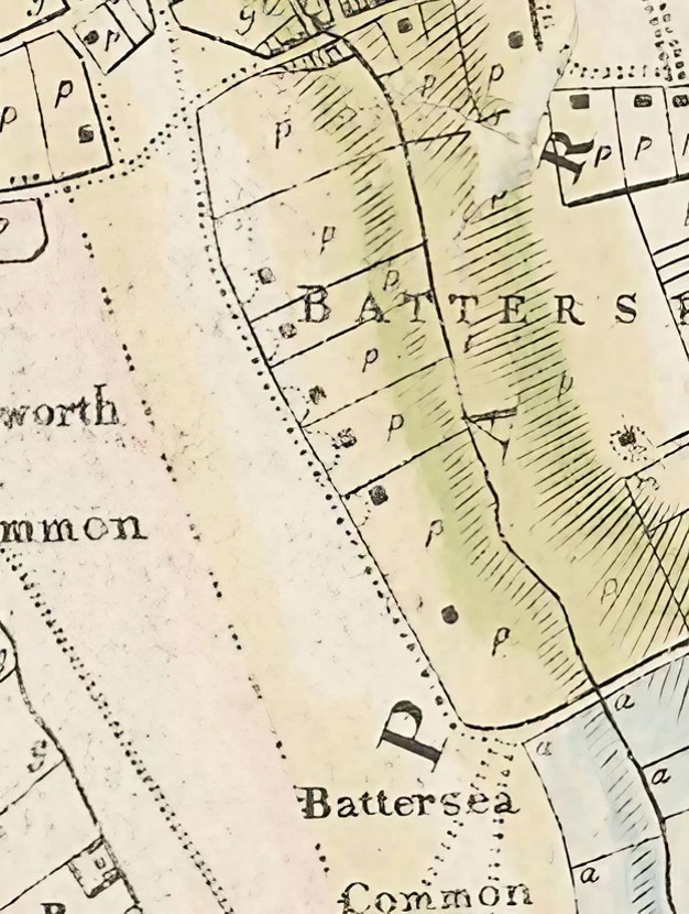
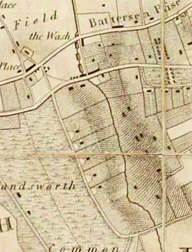
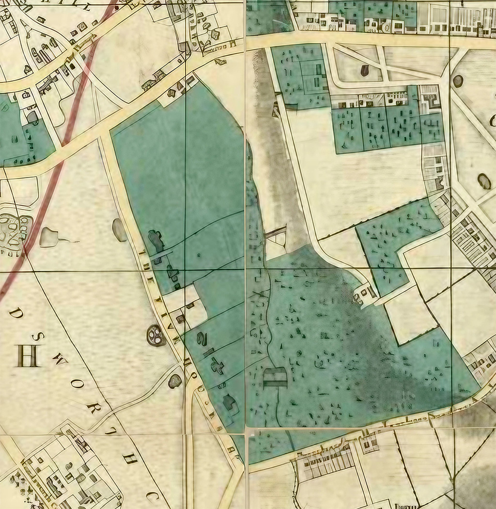
Milne, 1800
(Click on image to enlarge)
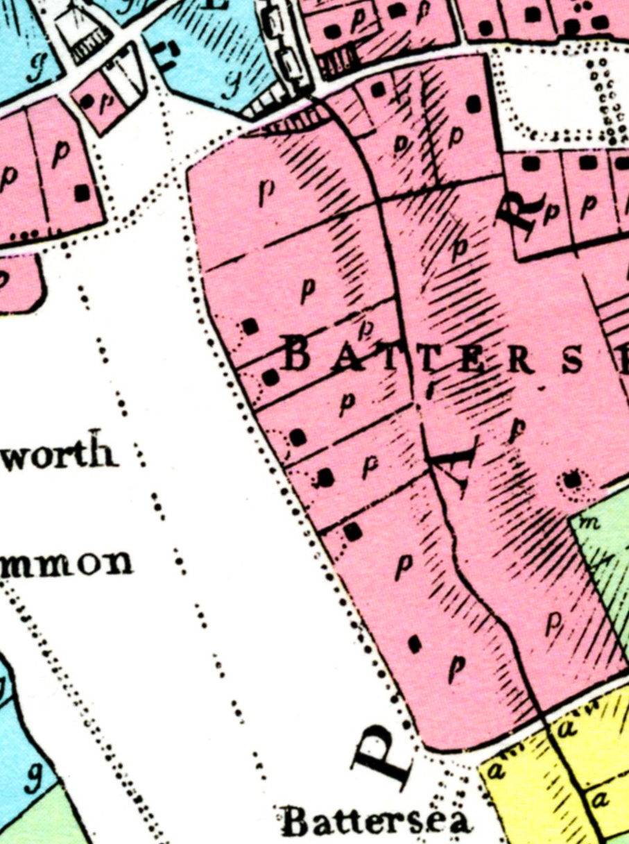
Milne, 1800 v2
(Click on image to enlarge)
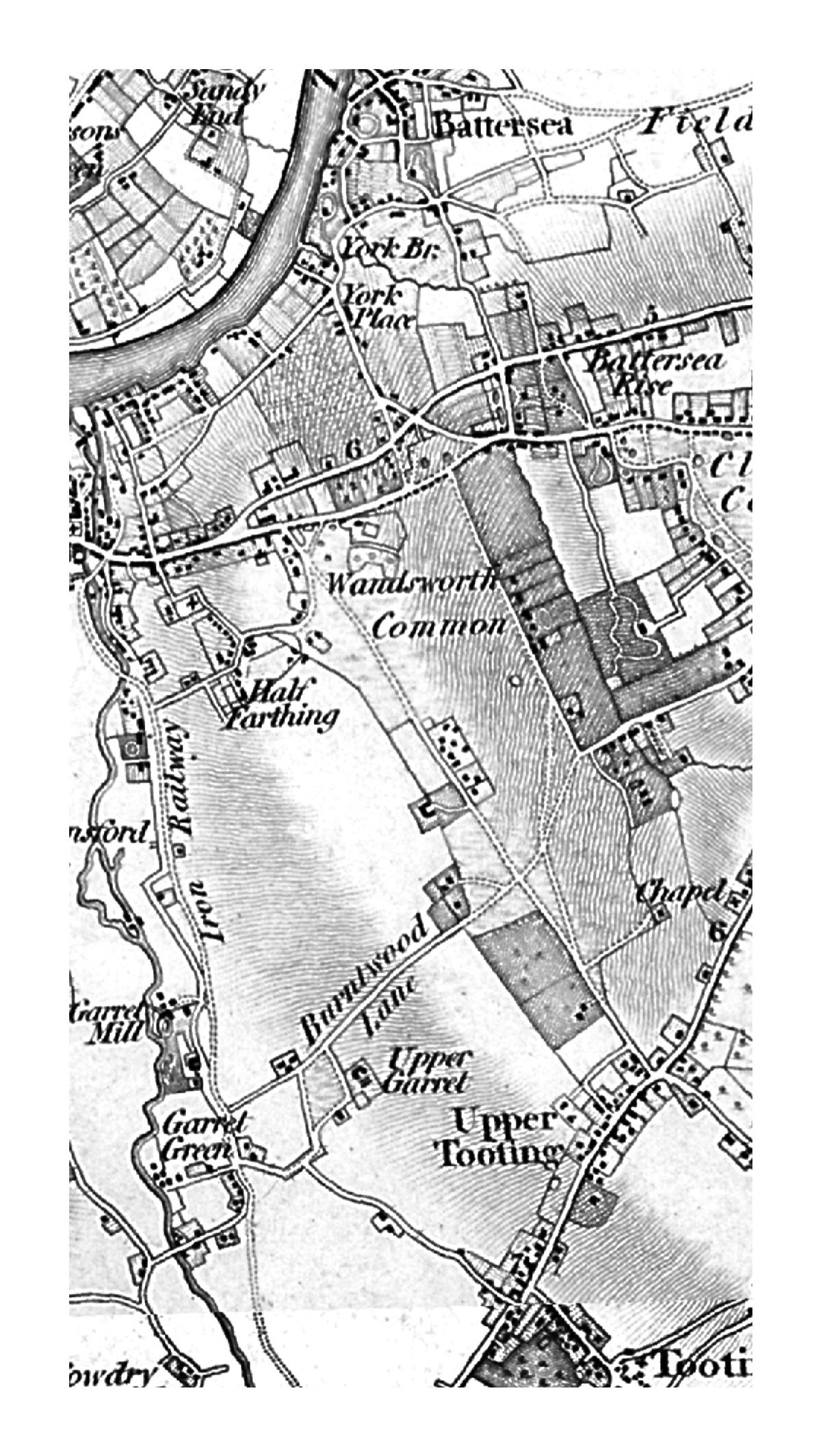
OS, Old Series, 1-inch, 1808-1820
(Click on image to enlarge)
Edwards, Companion to the Road from London to Brighthelmston., 1801
[Is it significant that the term "Bolingbroke Grove" is placed along the far (eastern) side of the Falconbrook? At this time, and for quite a while, what we call Bolingbroke Grove was referred to as "5 Houses [Road]" or similar. Several maps show a single? row of trees along this road, to the west. Was this the "Grove"? Or was the grove a row of trees along the Falconbrook? It must have had some special significance. Why else would Edwards bother to name it? ]
(Click on image to enlarge)
Faden, 1819
[William Faden, A New Topographical Map of the Country in The Vicinity of London, Describing all the New Improvements, 1819.>
(Click on image to enlarge)
Wyld, 1872: The Country In The Vicinity Of London, Describing All The New Improvements, Metropolitan Boroughs And Parish Boundaries 1872.
[This maps was "Published By James Wyld, Successor To Mr. Faden, Geographer To Her Majesty, Charing Cross East.". And how similar it looks to Faden's of decades earlier! (see above.) Had the area been thoroughly re-surveyed in the meanwhile? Probably not. But the changes are interesting.]
(Click on image to enlarge)
Cruchley, 1829
Before the railways.
(Click on image to enlarge)
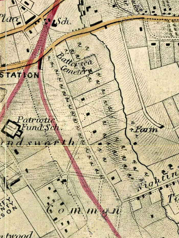
It seems to me that the red line across the Common (dividing the Black Sea) shows the expected not the actual built route of the London and Southampton Railway (later London and South Western Railway). This section opened in [1838?].
(Click on image to enlarge)
Cruchley, New Plan, 1847 (11th edition; 1st edition 1829)
Cruchley, mid?late? 1830s. Or is it the version from 1847? Check.
Cruchley, New Plan of London and its Environs, 1847.
It seems possible that the red line across the Common (dividing the Black Sea) was drawn on the map before the railway was actually built, possibly mid-1830s, and not revised after the opening of the line in 1838. In short, it shows the expected not the actual built route of the London and Southampton Railway (later London and South Western Railway).
British Library: Cruchley, New Plan of London and its Environs, New edition 1847
(Click on image to enlarge)
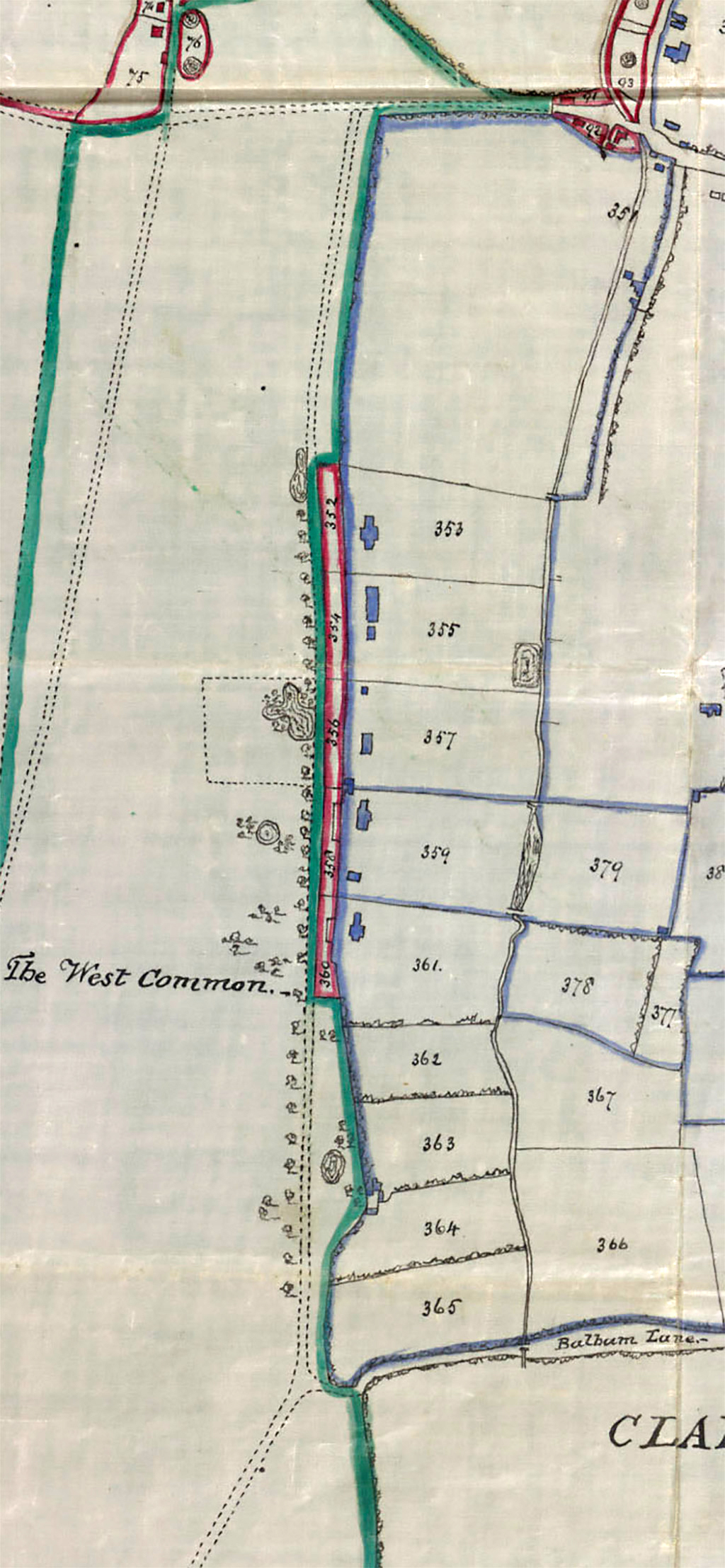
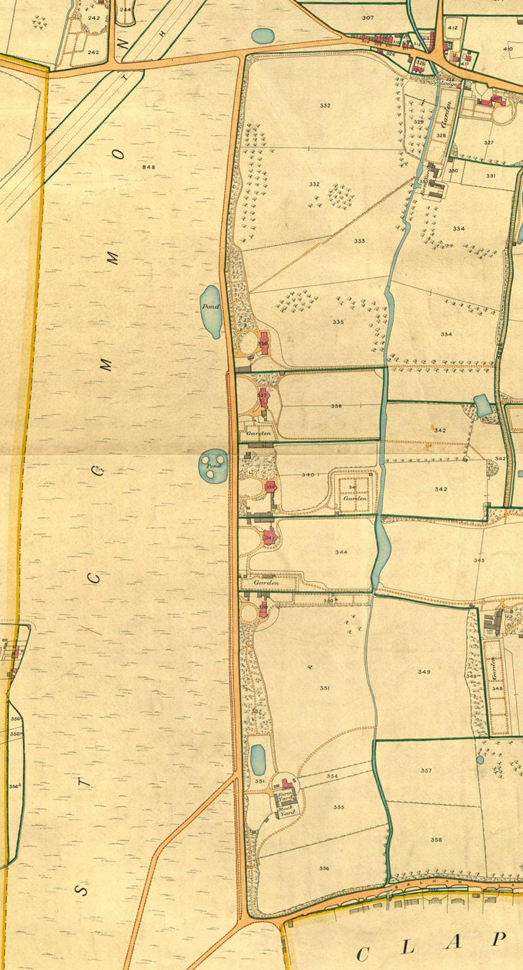
Tithe Apportionment, c.1840
[Enhanced enlarged version here.]
(Click on image to enlarge)
Stanford, 1862
(Click on image to enlarge)
Whitbread, 1865
(Click on image to enlarge)
OS, 6-inch, 1865-1873
(Click on image to enlarge)
OS, 25-inch, 1868 [Guildhall]
(Click on image to enlarge)
OS, 6-inch, 1868
(Click on image to enlarge)
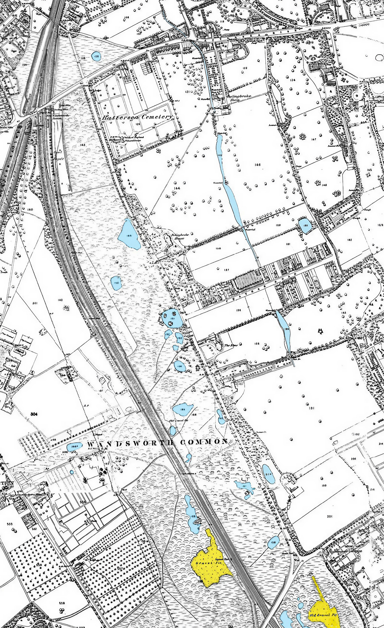
OS, c.1870
[Ponds and pits tinted by PB.]
(Click on image to enlarge)
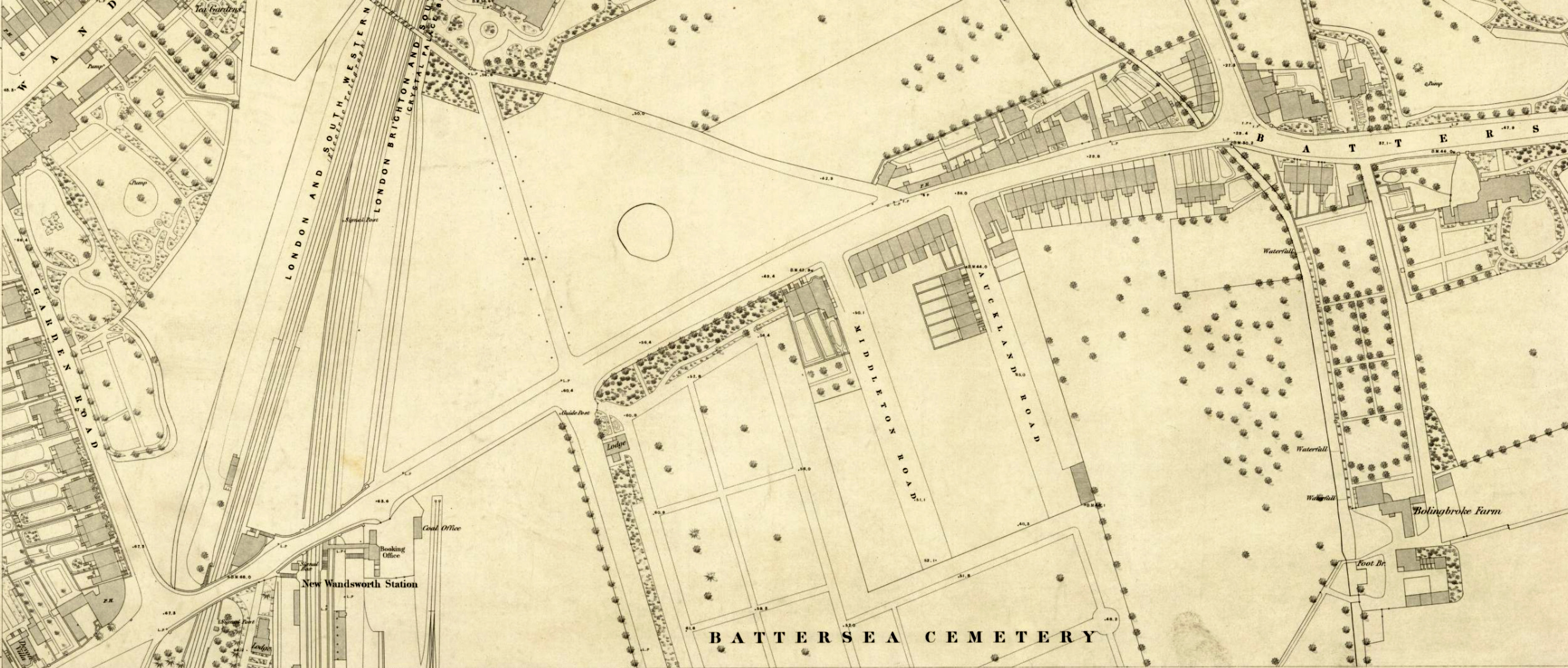
OS, Town Plan, 60-inch, 1866, X.60
(Click on image to enlarge)
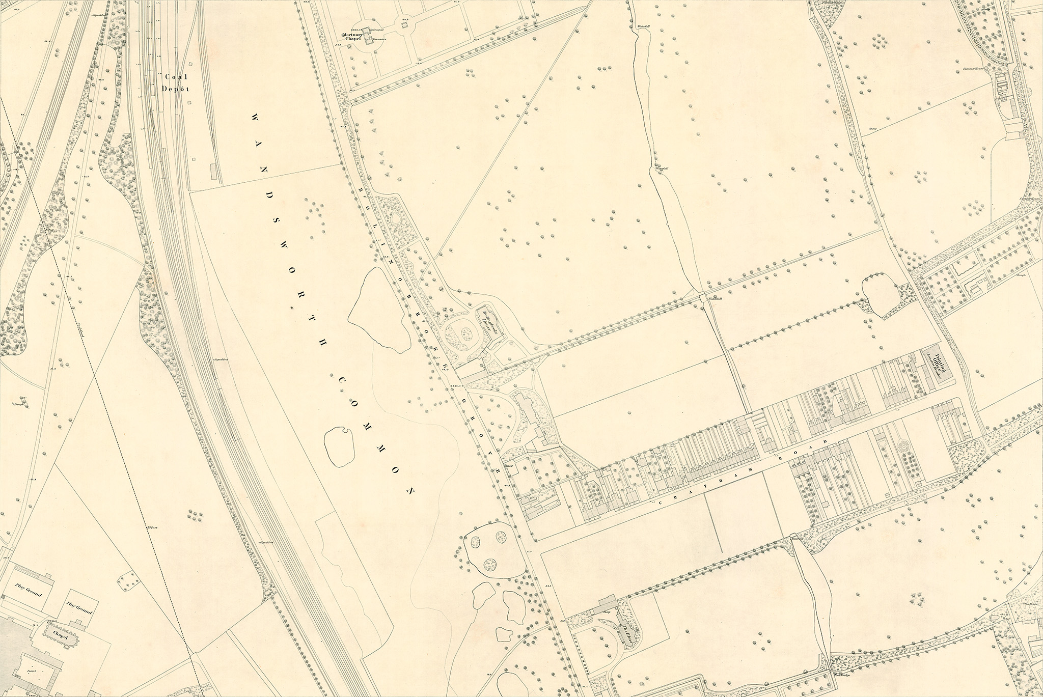
OS, Town Plan, 60-inch, 1866, X.70
(Click on image to enlarge)
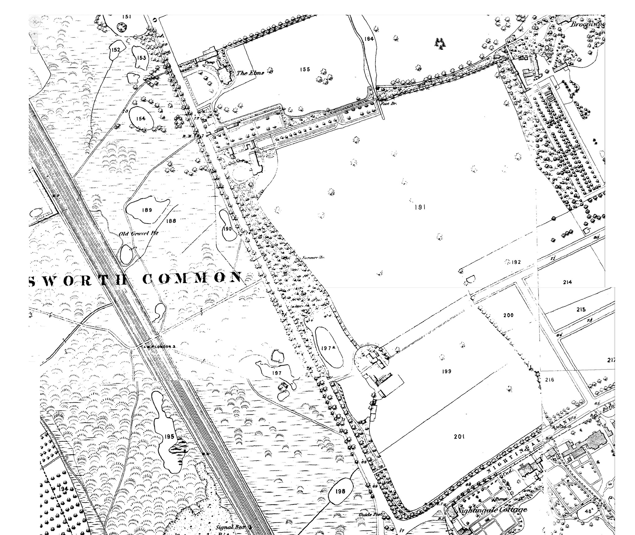
OS, Town Plan, 60-inch, 1866, X.80. Unavailable.
The southernmost map is OS, Town Plan, 60-inch, 1866, X.80. But it's not on NLS website. Grrr. So if not there, where?
But here is a screengrab of a composite version on the Wandsworth Historical Maps site. Better than nothing.
(Click on image to enlarge)
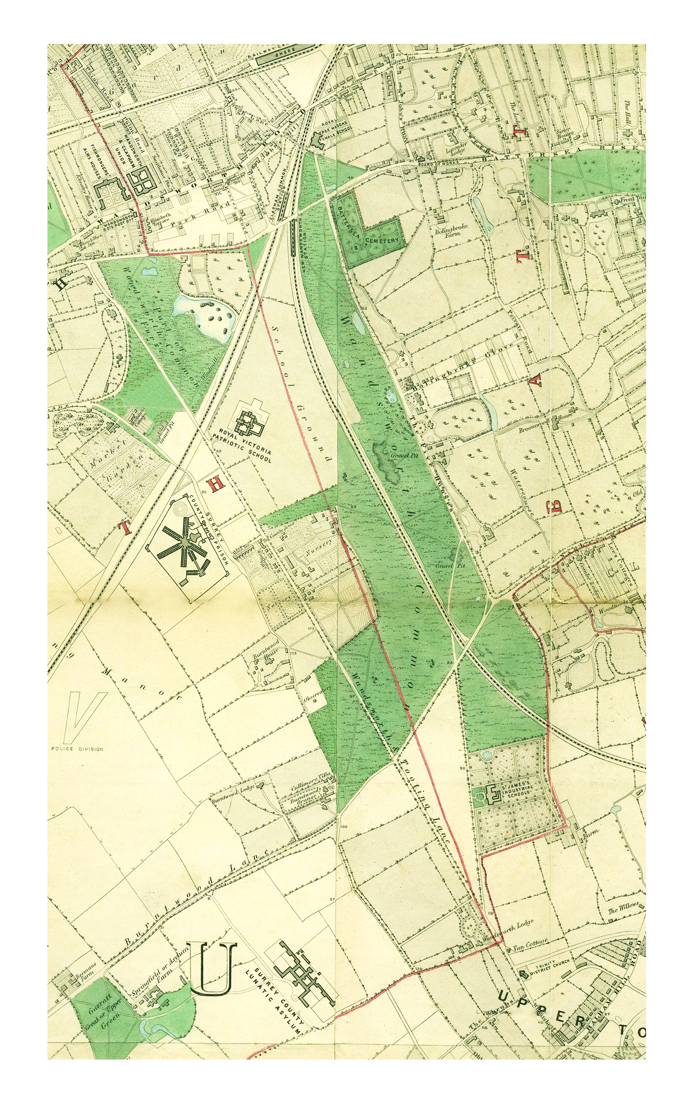
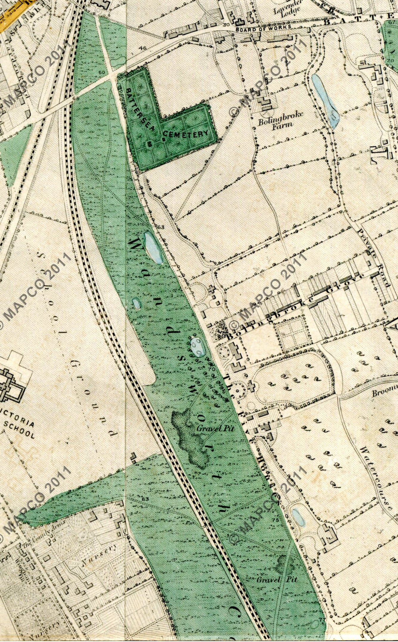
Stanford, 1872
[This is the Mapco/Motco version. I may have another non-watermarked version.]
(Click on image to enlarge)
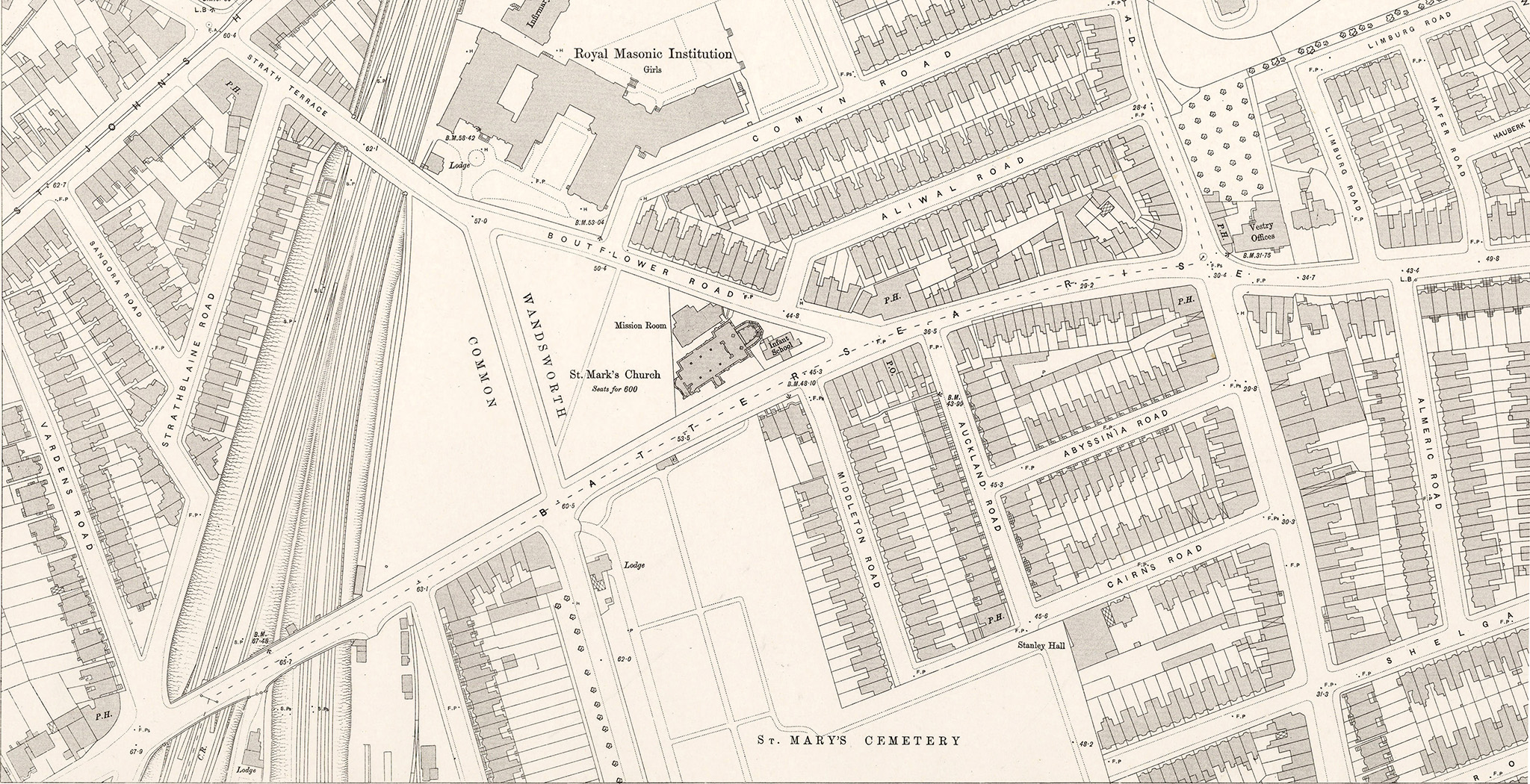
OS, Town Plan, 60-inch, X.60, 1894. Find and add.
(Click on image to enlarge)
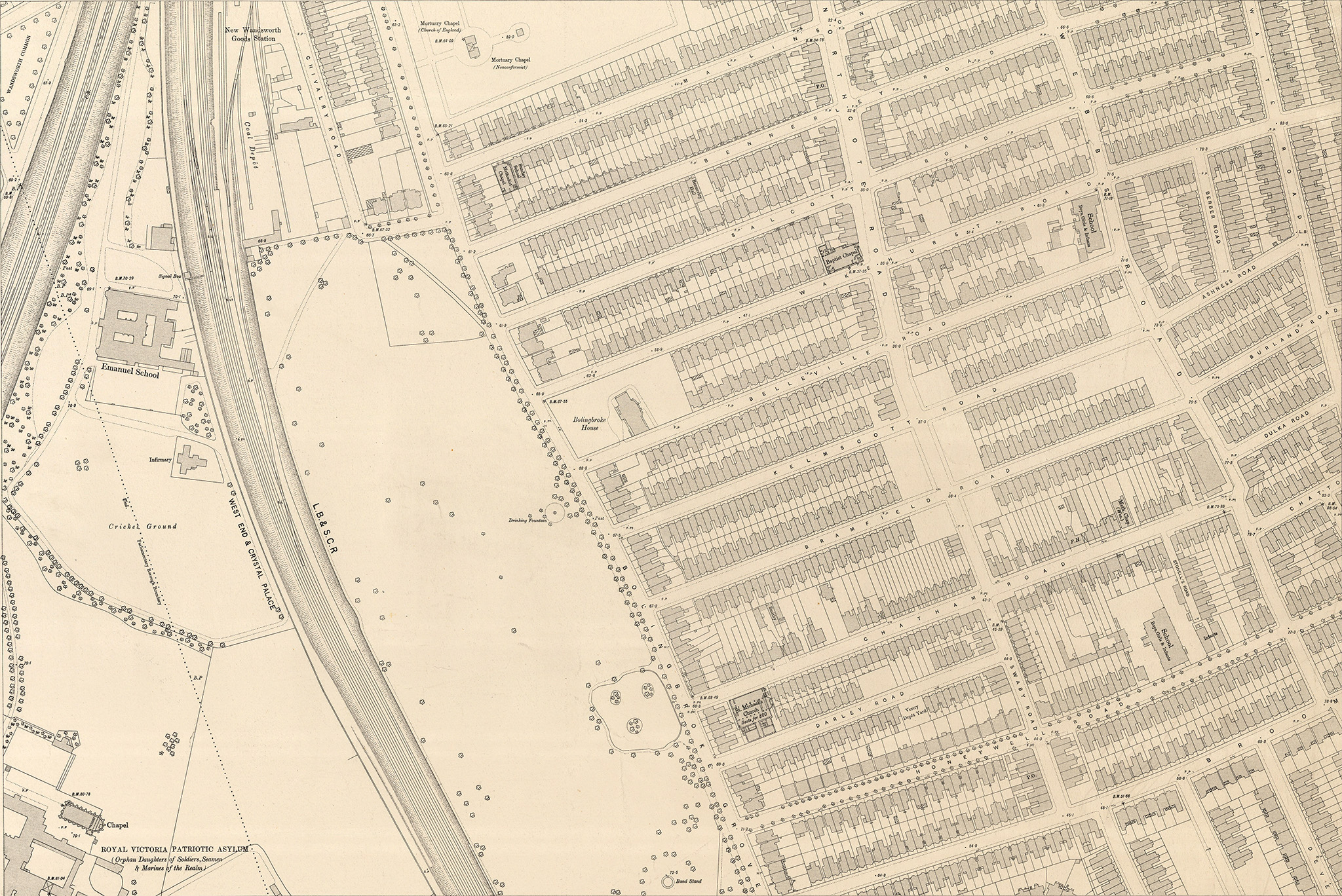
OS, Town Plan, 60-inch, X.70, 1894
(Click on image to enlarge)
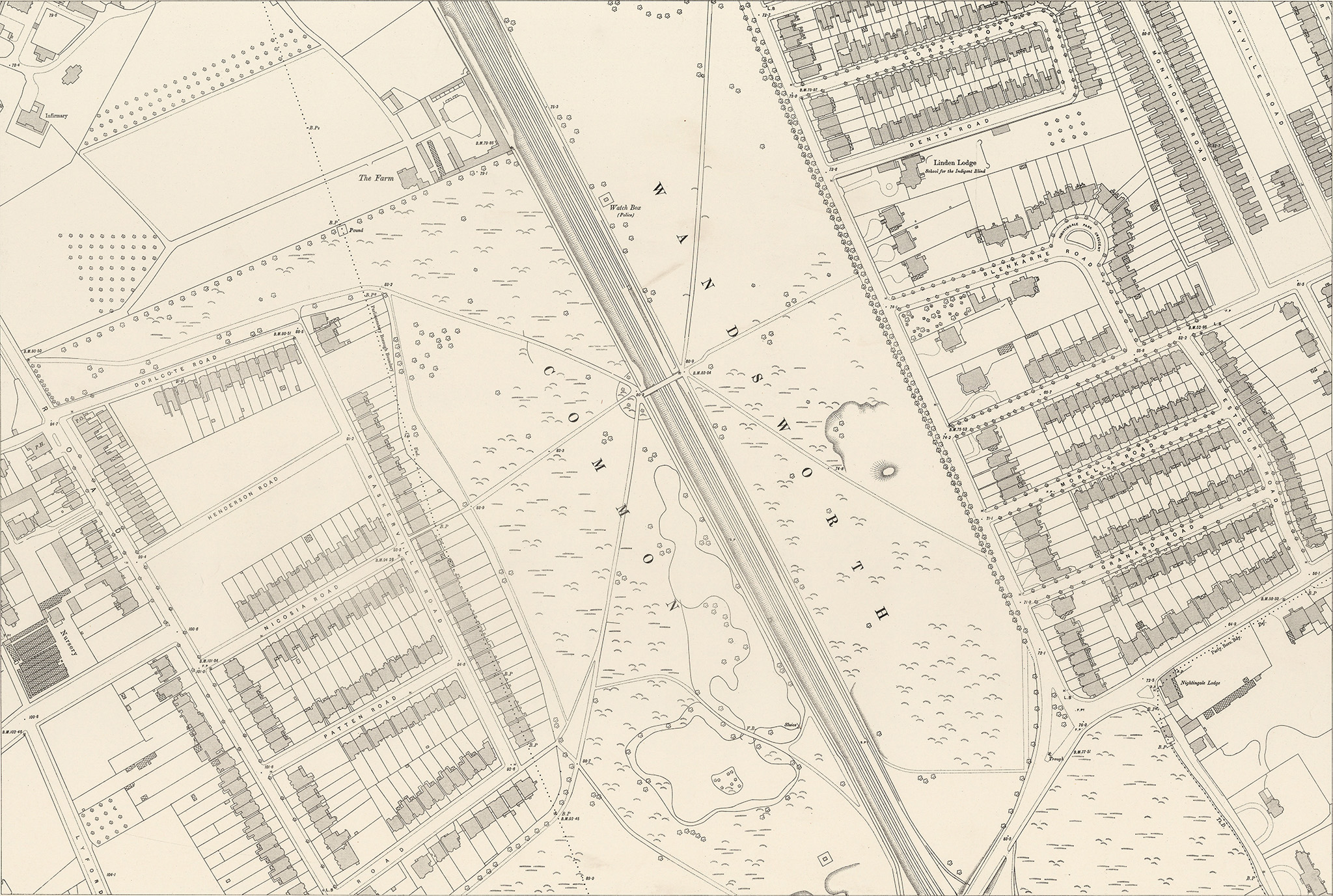
OS, Town Plan, 60-inch, X.80, 1894
(Click on image to enlarge)
(Click on image to enlarge)