The Hidden History of Our Streets


Added 26 May 2020

IN PROGRESS ...

Refresh this page

Hidden History of Our Streets - Index
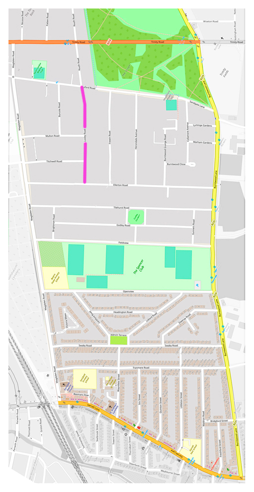


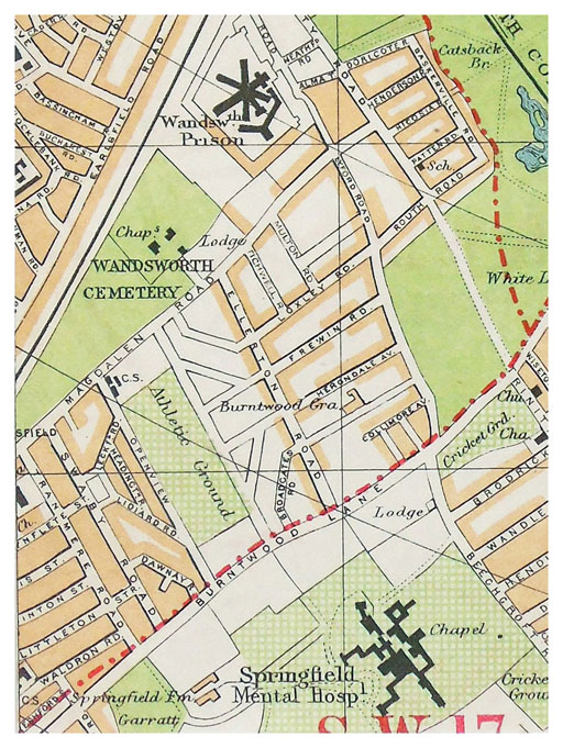
A slightly odd way of looking at Loxley Road and the streets around us. I've rotated the map so that Trinity Road runs East-West to show more clearly the pattern in our streets, and how the layout is almost symmetrical, left and right.


The strange symmetry of our streets

(and some gob-stoppers in between)


Maggie and I (no.14) have done rather a lot of walking recently. It's our preferred way of getting some exercise. Round and round, in and out, up and down. Not quite at random, but every walk a slight variant on the previous one.
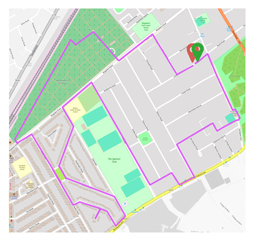
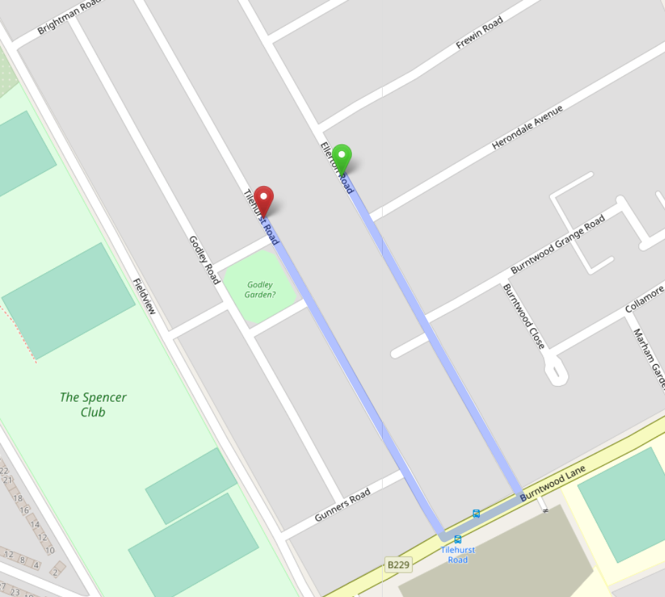
And because we're on foot, we've become more aware of patterns the streets make - the zones of houses of roughly the same age (and size and style), the orientation of the roads, the almost-but-not-quite symmetries.


For example, most of the roads at the "top" (such as Loxley, Frewin, Herondale) tend to go "up and down", but stop short at Ellerton. No road connects Ellerton to its near-neighbour Tilehurst.

Why not?


What a trek to visit a neighbour in the house behind you whose garden wall you share - up to 750 metres. That's nearly half a mile.

(Click on image to enlarge)

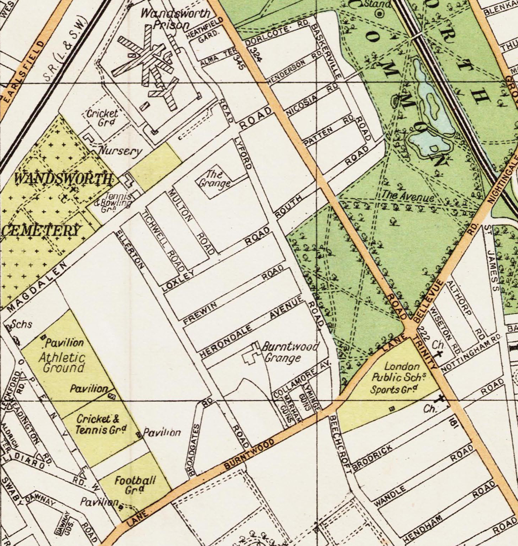
In this street map from the early 1930s, Loxley Road and the parallel roads come to an abrupt end at Ellerton, as they do now:


1932

Notice the sports grounds are there, and something like Beatrix Potter School. But there's no Burcote, Tilehurst, Godley or Openview. And what's happened since to the diagonal "Broadgate Road" and the grand house "Burntwood Grange"?

Oh, and Lyford Road runs straight through from Magdalen Road to Burntwood Lane - there's no Heathfield Bowls Club to block its way, nor is there a stubby Sandgate "Lane".

(Click on image to enlarge)

But take a look at this. Here's a map from ten years earlier:


Early 1920s: Spot any differences? Look in particular at Ellerton Road - an article on its own!

Clearly this isn't a depiction of what actually existed on the ground at the time. With London growing so quickly, map publishers such as Geographia/A-Z asked developers and planners to tell them what they expected to build next - of course it was just this proliferation of new streets that A-Z was created to explain.

(Click on image to enlarge)

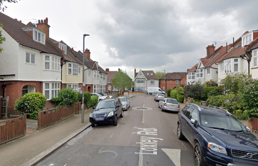
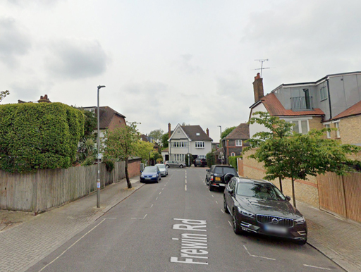
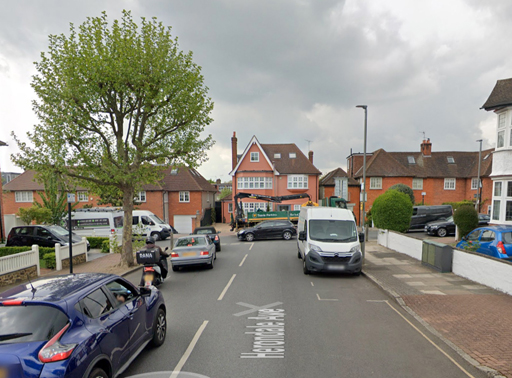
Returning to today, look closely at the houses facing the bottom of Loxley, Frewin and Herondale.


Left to right: 32A, 48A, 62A

(Click on image to enlarge)

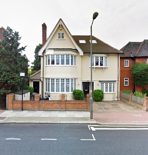
Architecturally these are quite unlike any other houses in our area. They're also numbered strangely (particularly strangely for such large houses). Obviously they were built some time after their neighbours, so their street number had to have the suffix "A" to maintain the numerical sequence.


No.32a Ellerton Road, facing the end of Loxley Road. One of three unusual "stopper houses".

(Click on image to enlarge)

These three houses are sometimes called the "stopper houses" (I've always called them "gobstoppers".) They were rammed into the gaps between adjacent houses in the 1930s to make it impossible for anyone to extend Loxley or Frewin or Herondale Roads any further down the hill (or vice versa).

Why, and in what circumstances? I'll try to answer this next time, and to explain how the overall pattern came about.

I'll also show why so many of our street names have associations with Oxford University. Names such as Magdalen, Headington, Waynflete, Isis, and Baskerville are perhaps the more obvious ones. But Ellerton, Tilehurst, Frewin, Routh - and, yes, even the illustrious name Loxley itself are also Oxford-related.

And all of this is thanks ultimately to a very rich widow, Sophia Sheppard, who in the middle of the nineteenth century owned even more land around here than Earl Spencer.


<< Index: The Hidden History of Our Streets


Please contact me, Philip Boys / 14 Loxley Road, if you have any comments, queries or information to add. And if you want any more of this kind of thing...