
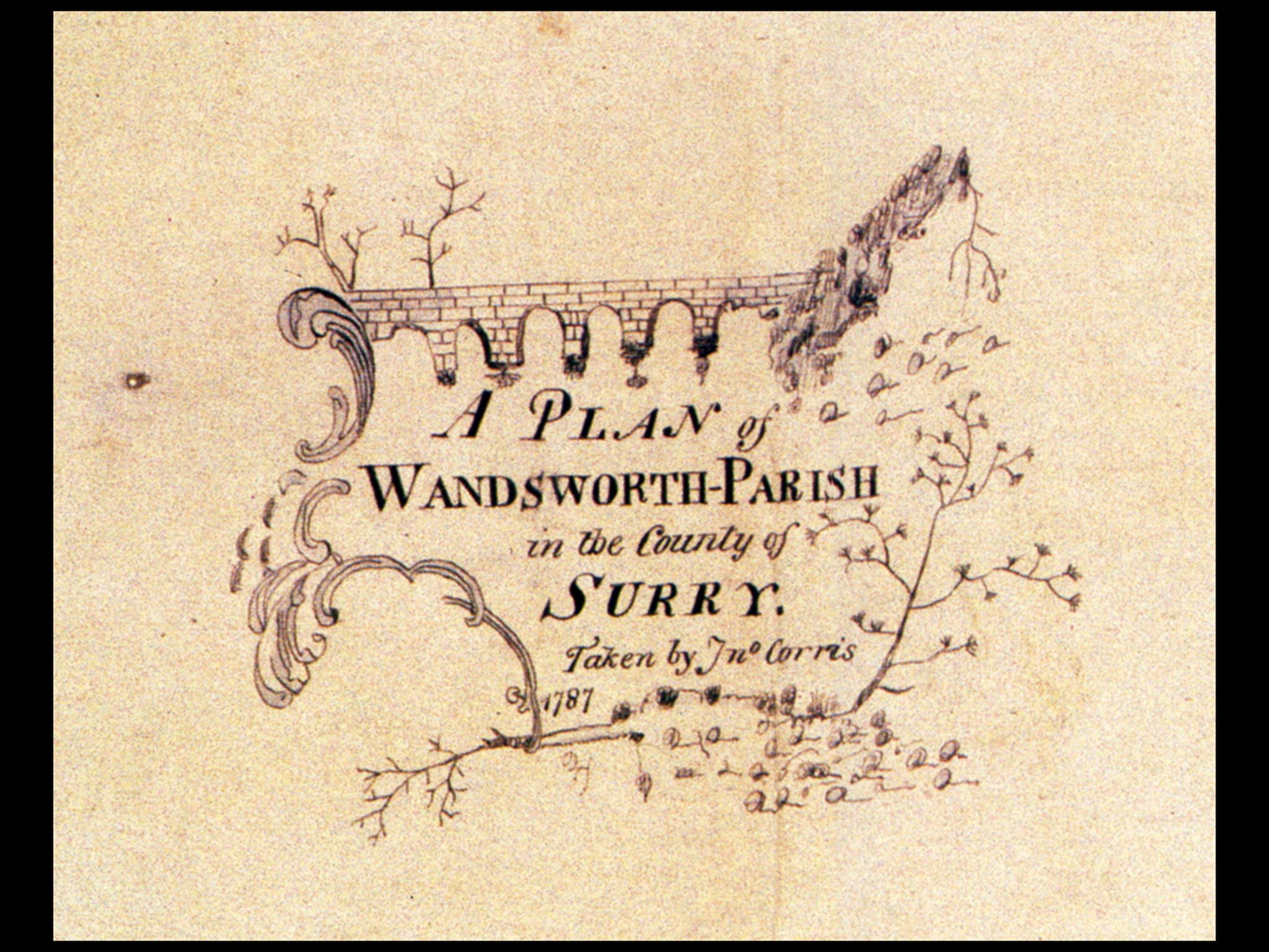
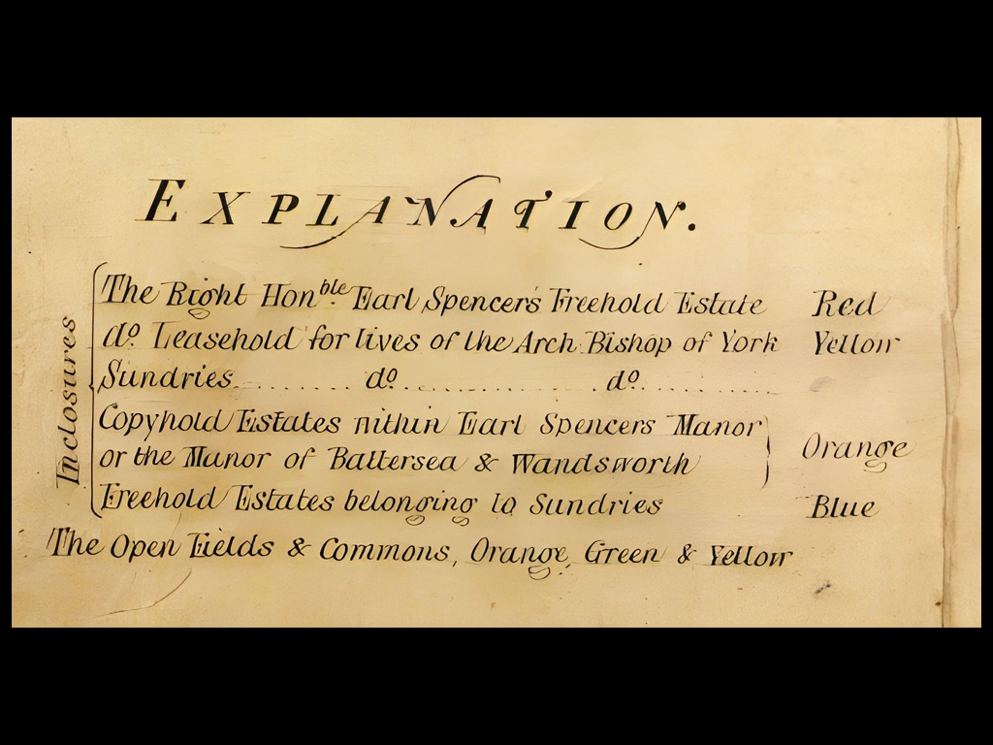
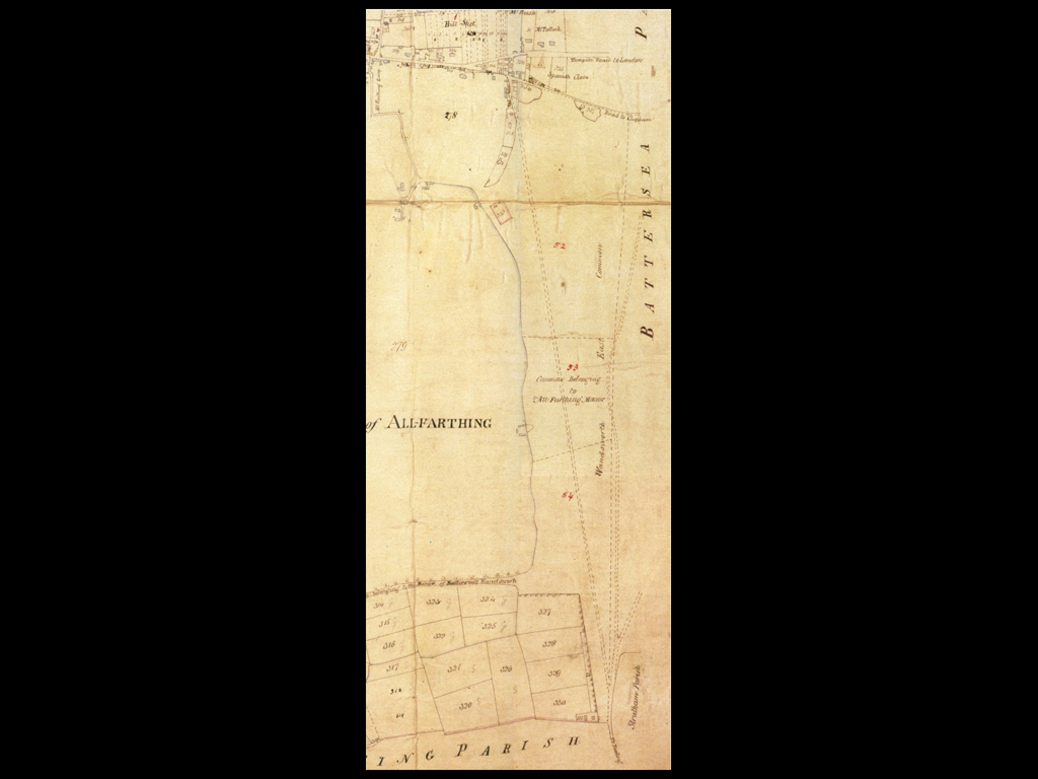
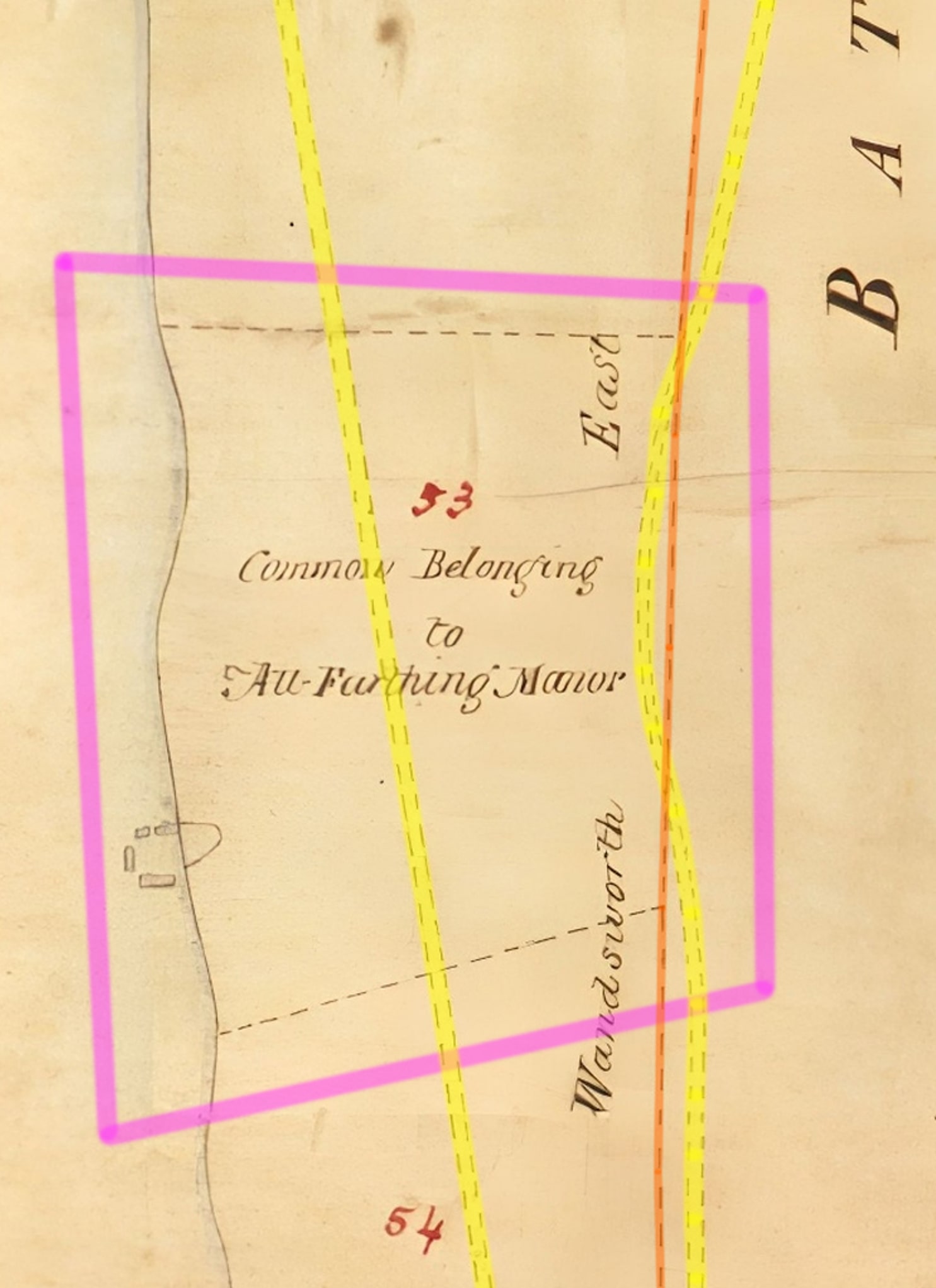
The earliest known map showing Allfarthing Manor, including part of Wandsworth Common (at the top, since the map is oriented with east at the top).
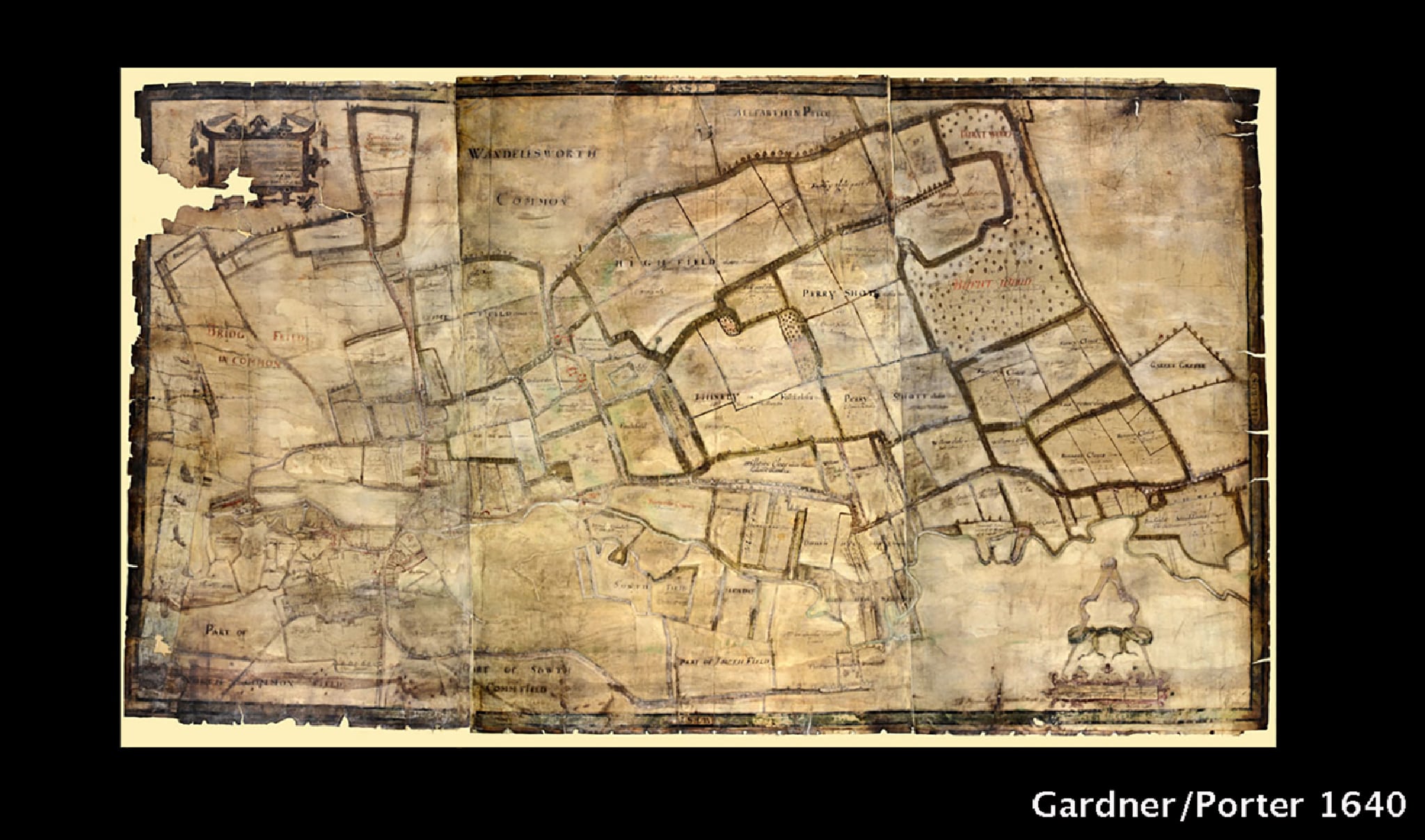
It includes an unfenced area of the Common called "Allfarthin Peece", attached to the manor. Originally, it almost certainly stopped at the Wandsworth-Battersea boundary. This will have manifold implications two hundred years later.

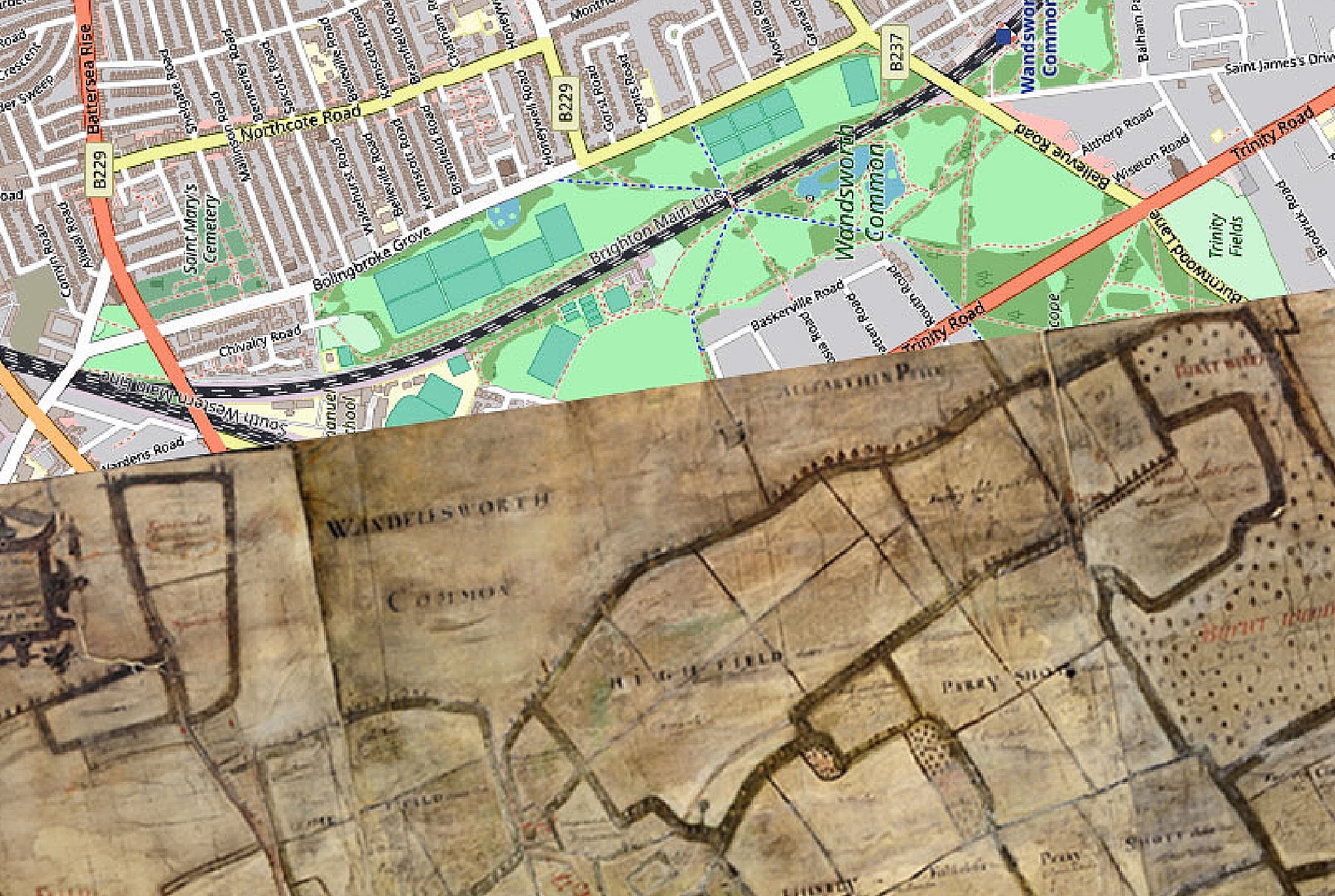
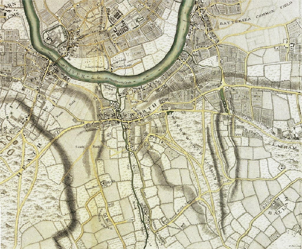
The "Piece" is not shown, presumably because it was still an unenclosed part of the Common. This gave Allfarthing's Commoners rights to "intercommon" over the whole of the much larger contiguous Wandsworth East Common and Battersea West Common (and of course vice versa).
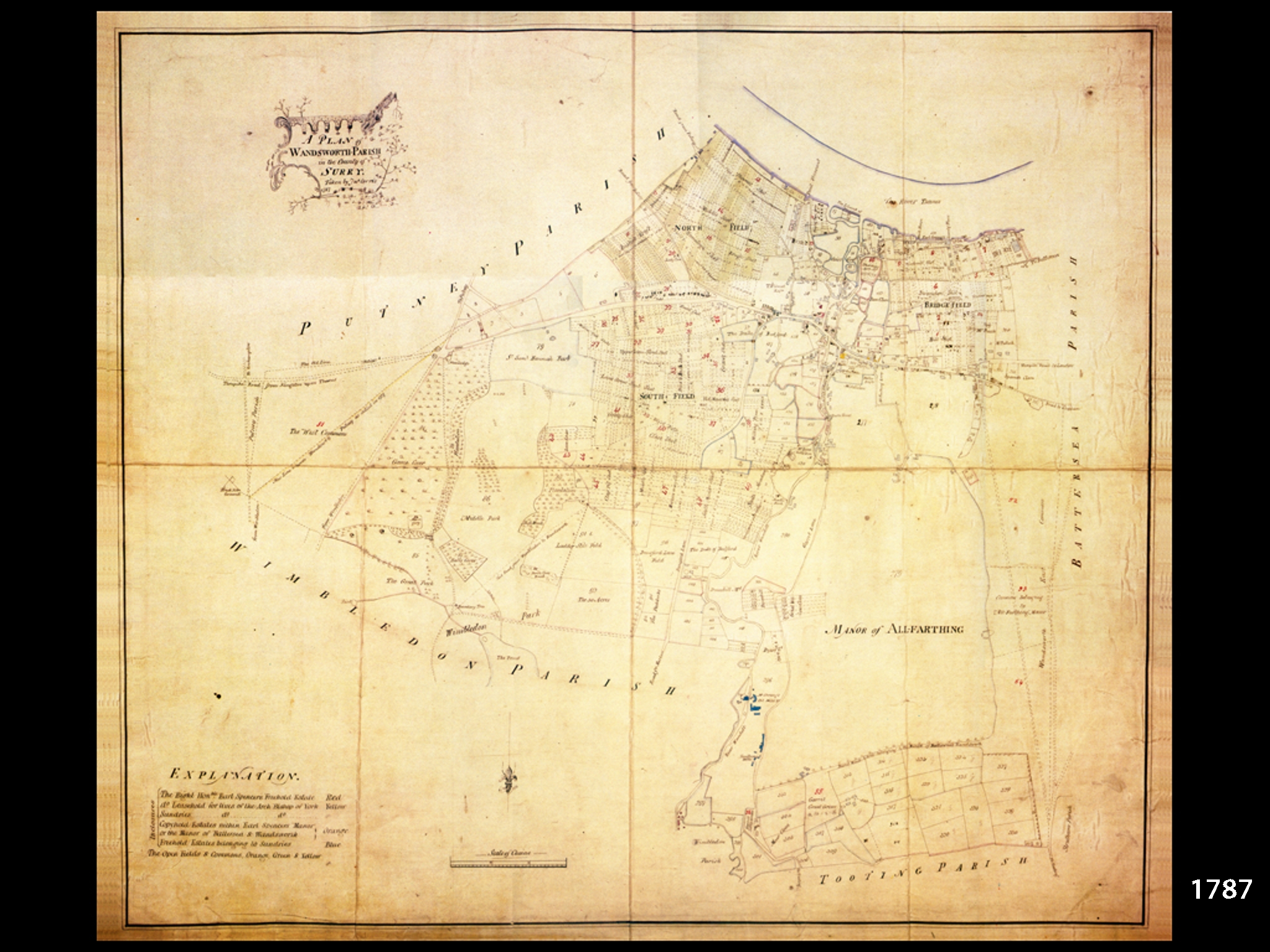
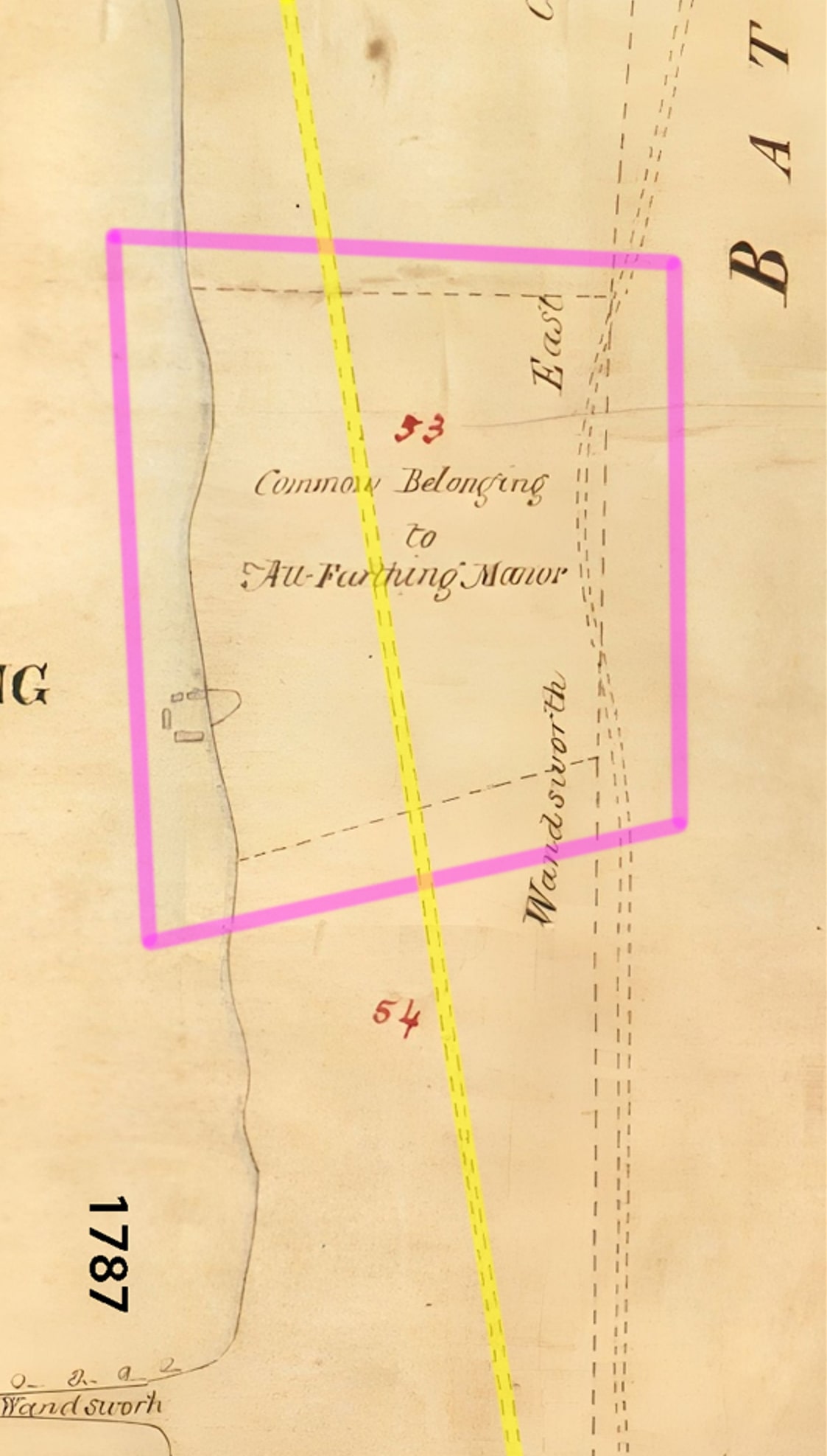
The Piece, projecting into the Common, is marked out with dotted lines and called "Common belonging to All-Farthing Manor". Dotted presumably because it was still unenclosed, as earlier.

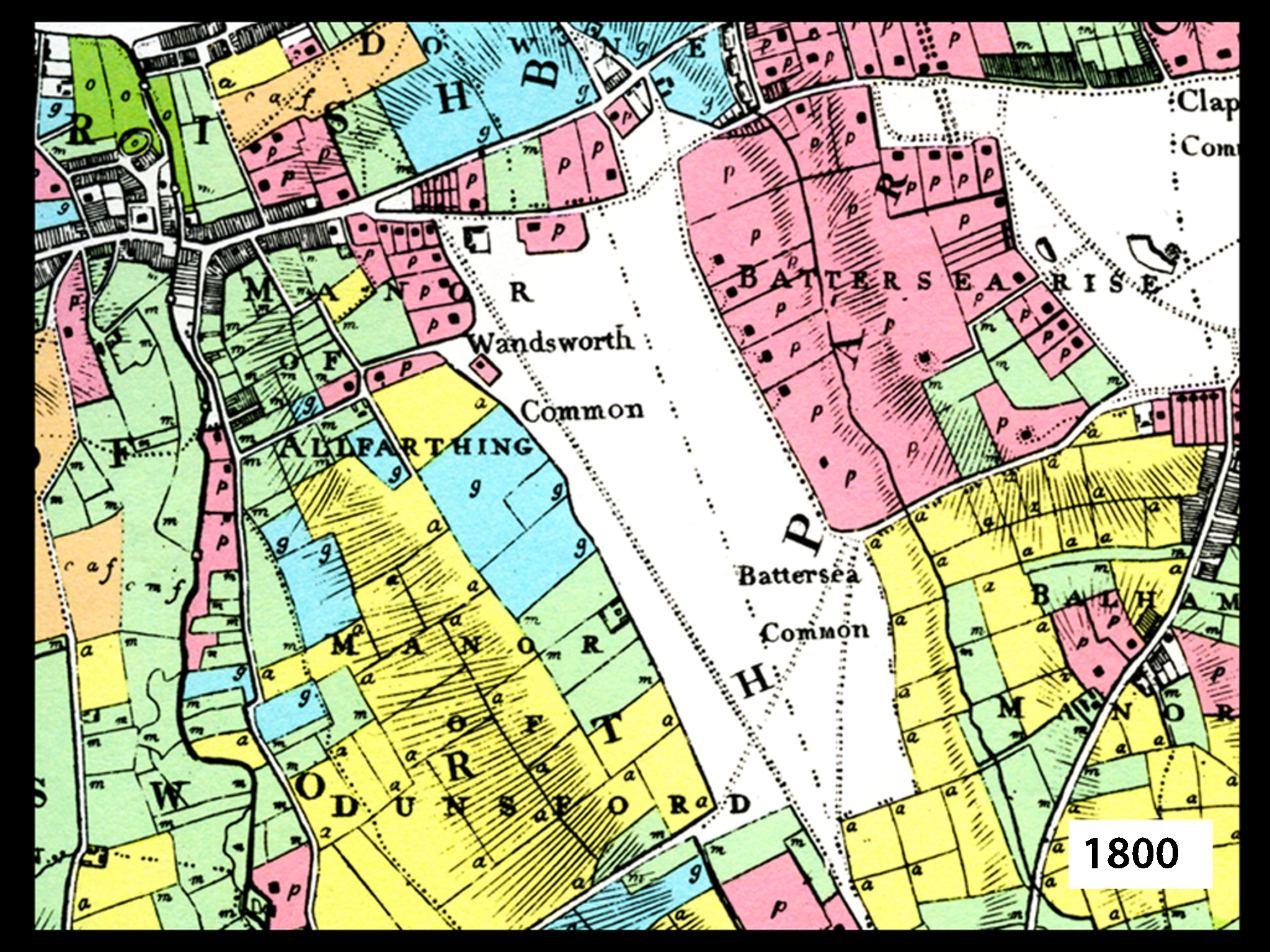
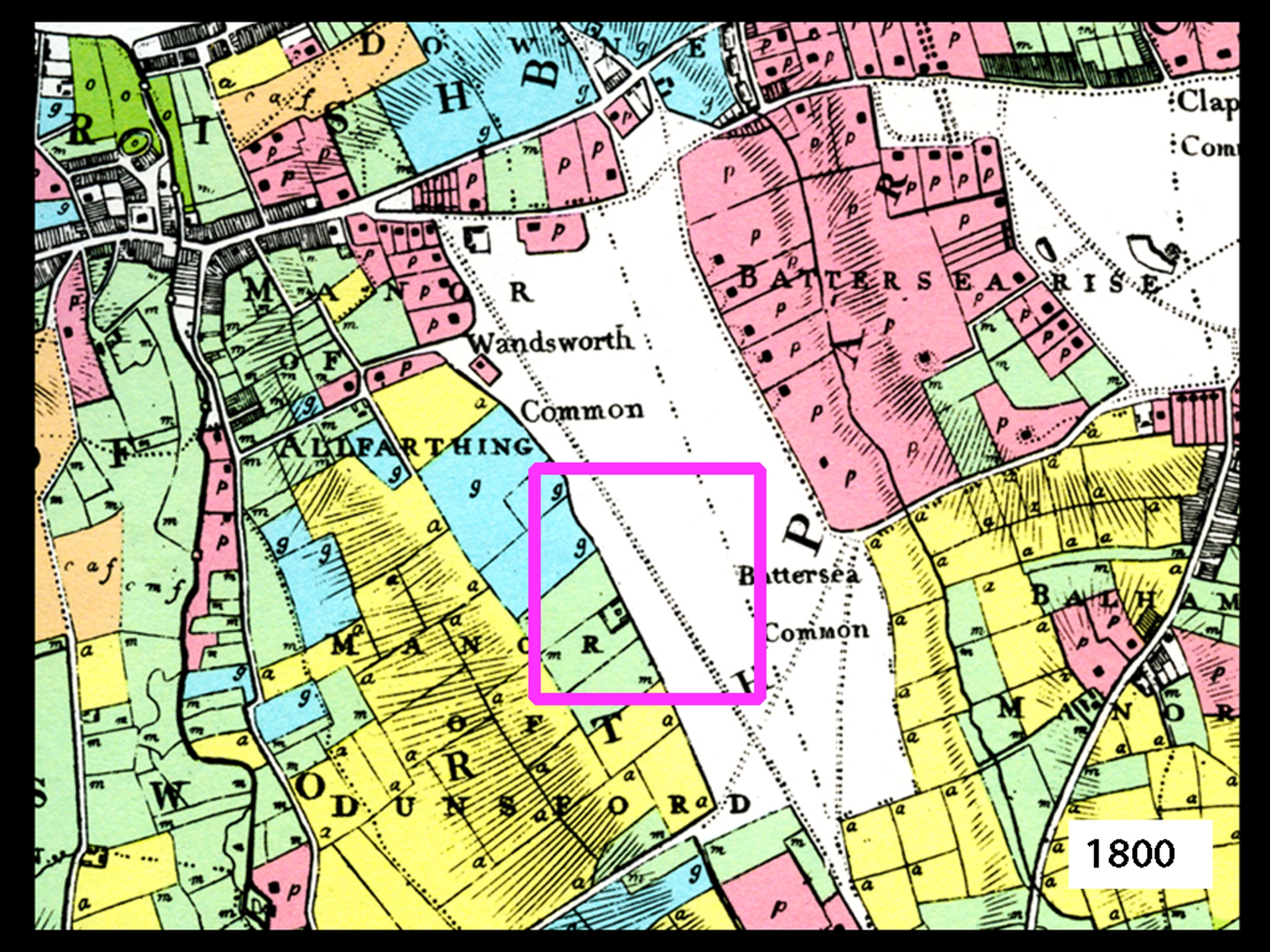
[This appears to be identical to my copy of 1804 william stanley]
The Piece appears to have been enclosed, but no buildings are shown. The area is depicted as smooth (very different from both the Common and gardens around large houses), probably implying it was a meadow, or possibly a ploughed field.
What is the dark rectangle on the northern edge (later described as "Mr Neal's, see below). Unlike other known houses in the area it is not tinted red, so presumably is not inhabited.
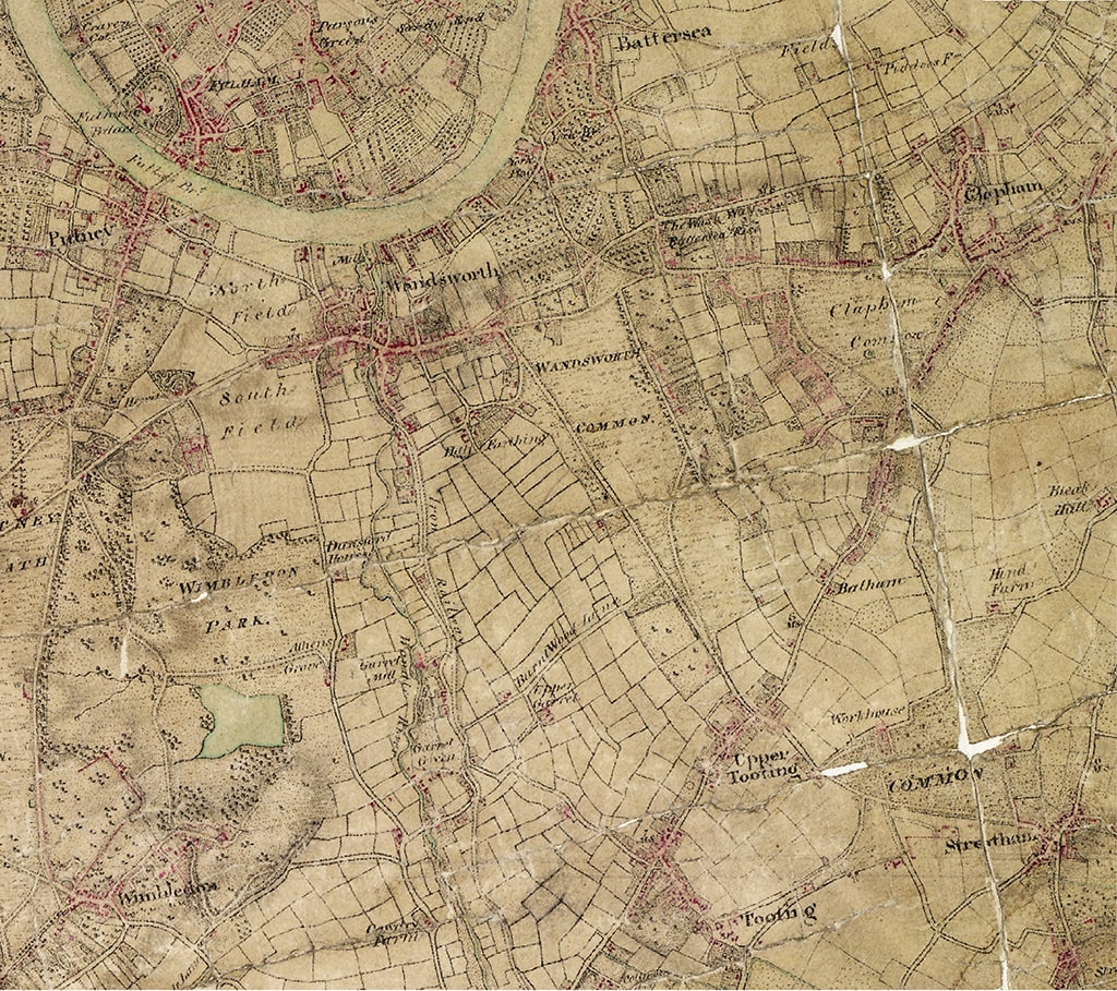
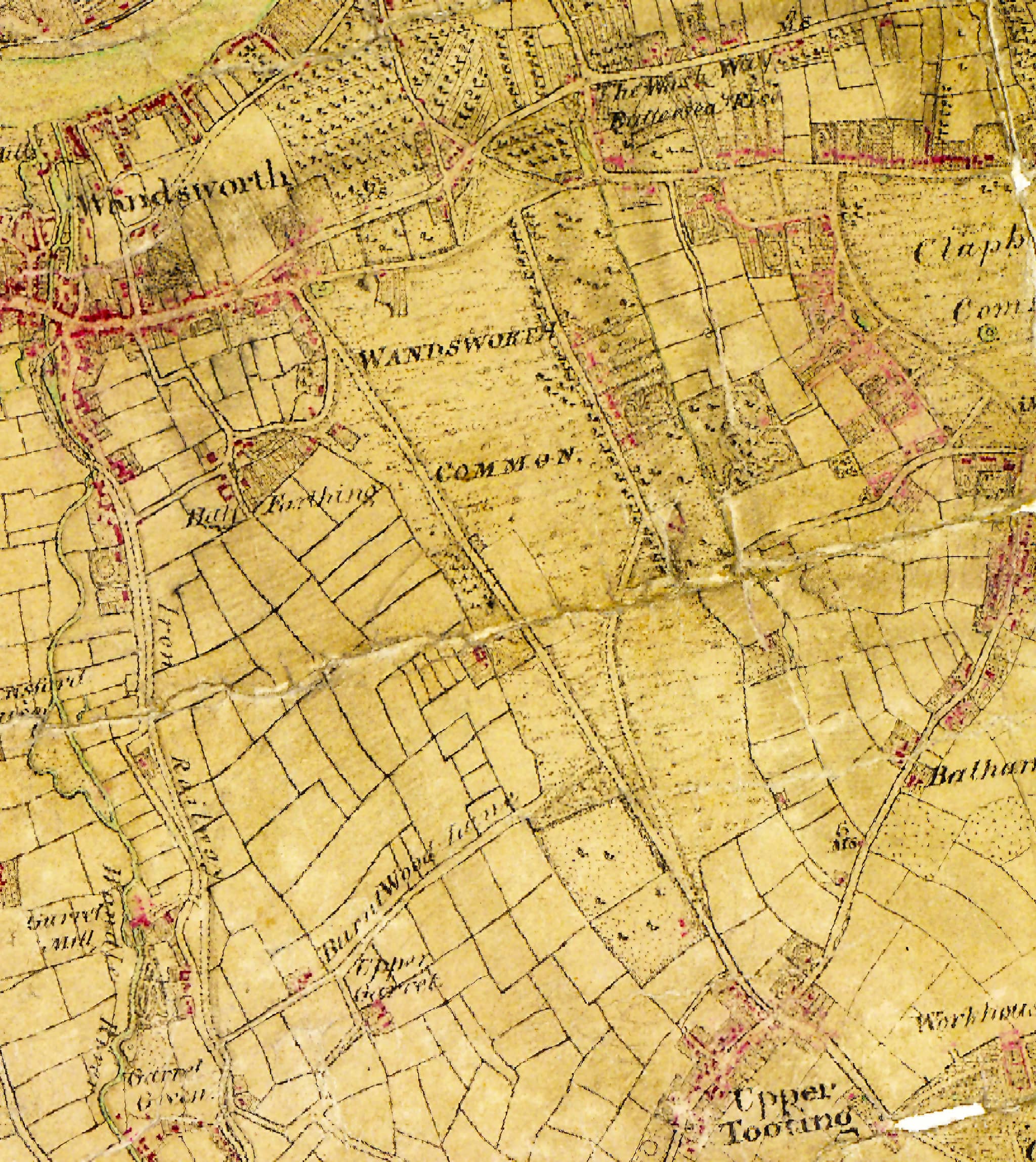
The Piece is clearly marked out, presumably with a fence or hedge. The area seems to have been divided into three fields. Notice the rectangle top left. The grounds in front of Burntwood House have spread as far as the road (the future Trinity Road). A curved carriage drive debouches onto the road at the southern corner of the Piece.
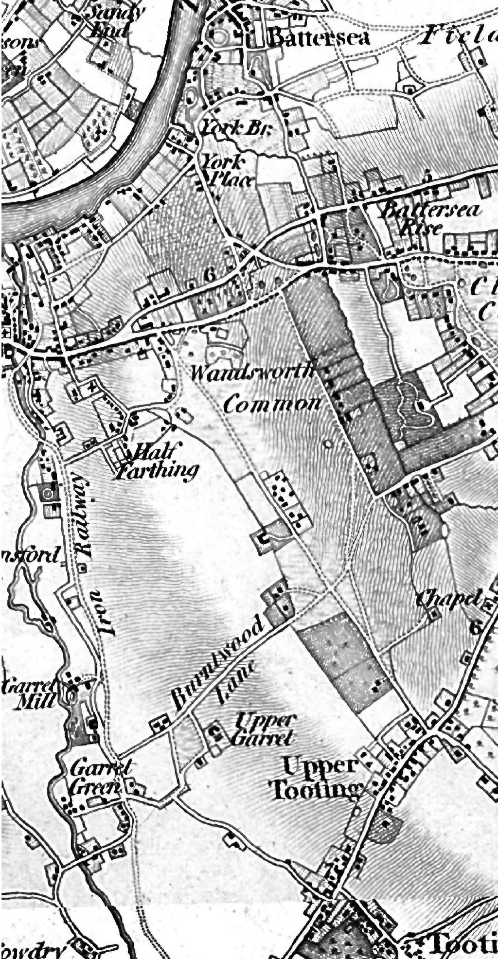
A hint of two buildings but no enclosure shown.

Pre-railways.

What do the black blobs on the western sde of Trinity Road, opposite the future Toast Rack, represent?

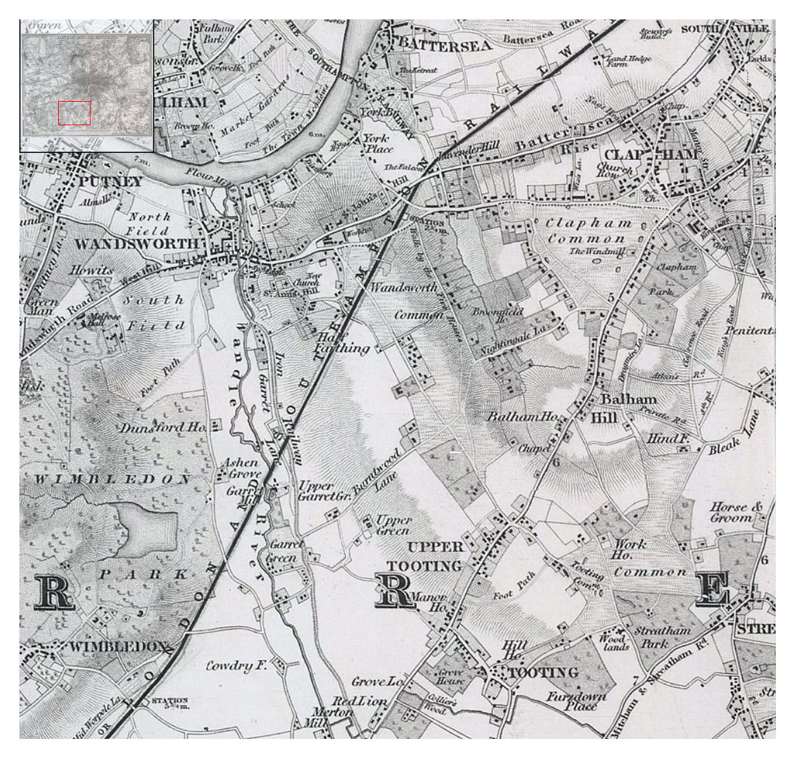
Clearly shows a solid line around the Piece, presumably indicating a fence. The eastern boundary with the Common appears to be a hedgerow, possibly implying it has been there for some time.
Around the edge of much of the Piece (esp. south and north), there appears to be a ditch (blue).
The Piece projects some way beyond the boundary between Allfarthing Manor and Battersea.
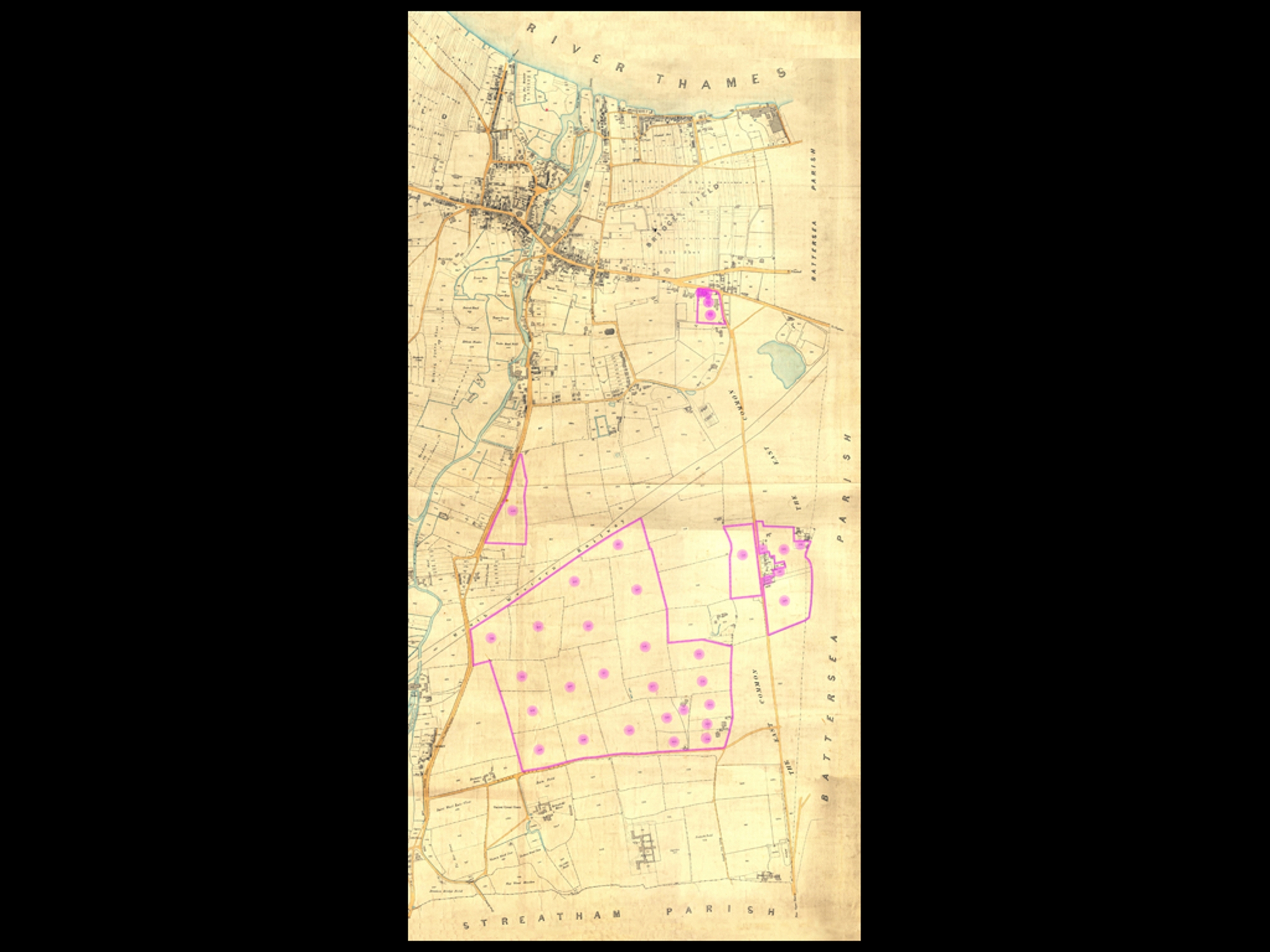
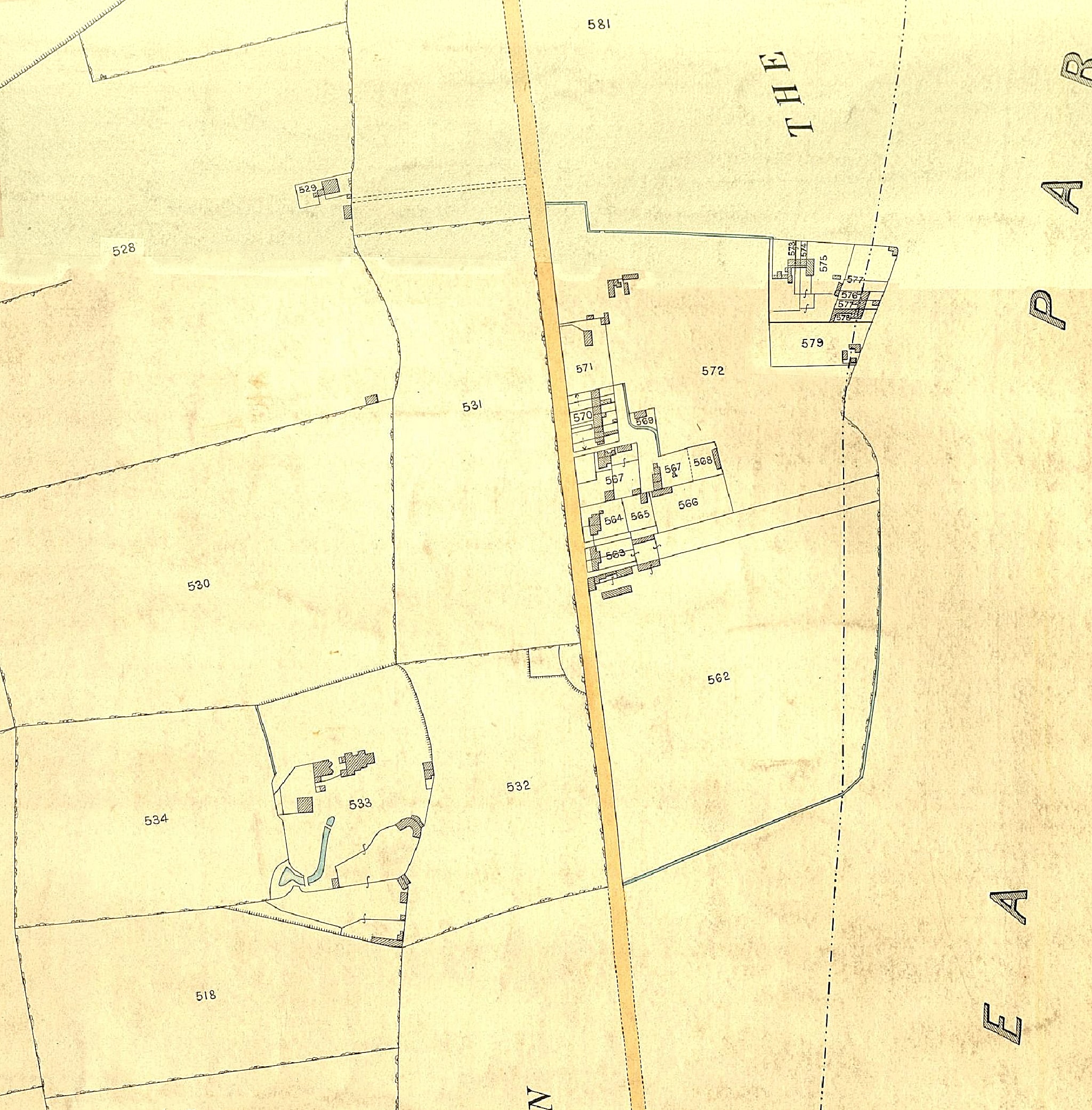
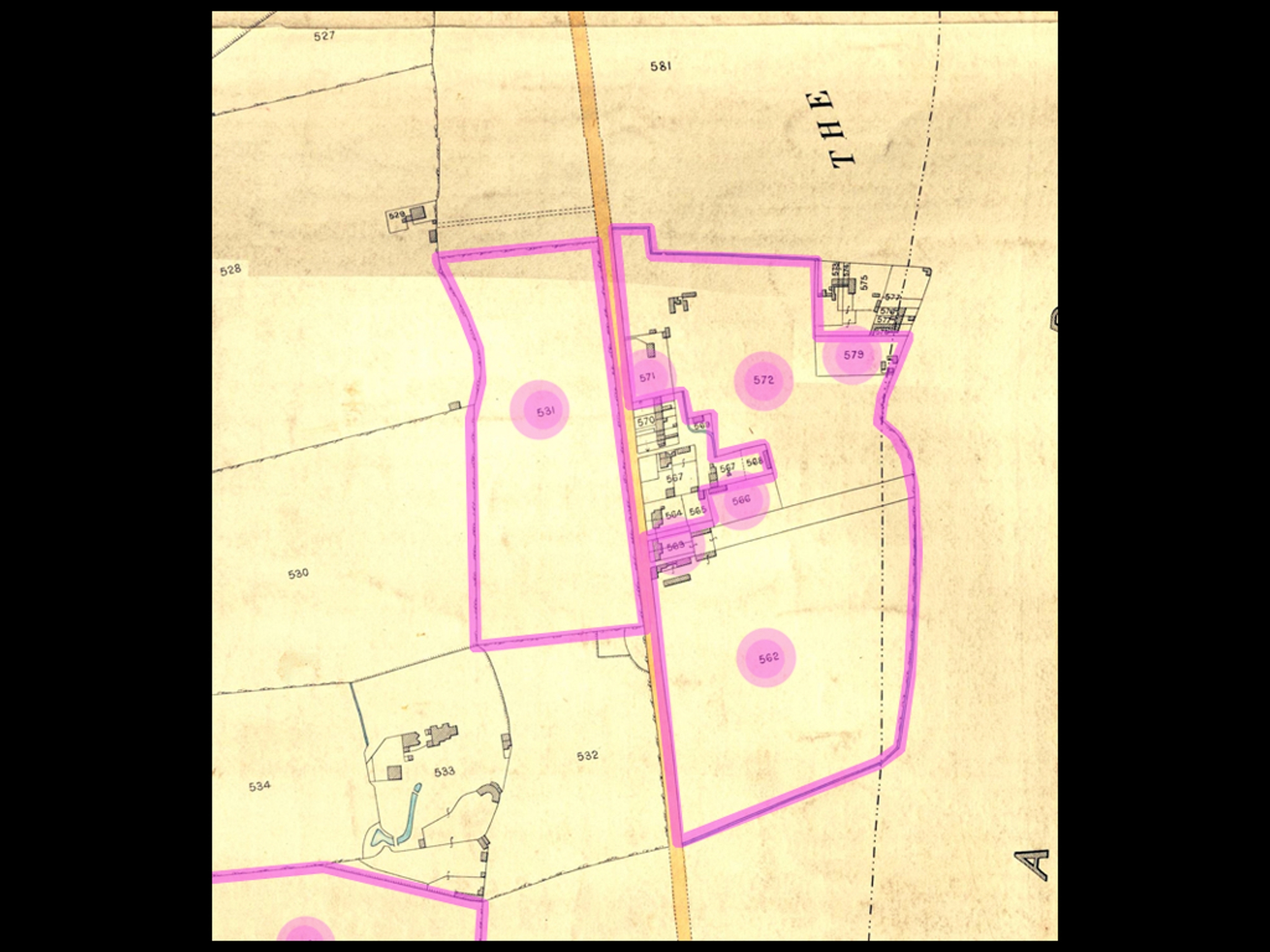
Numfrous houses and gardens are shown, mainly in two clusters — in the middle, by Trinity Road, and top right.
[I MUST TRANSCRIBE THE TITHE RECORDS FOR THIESE PLOTS.]
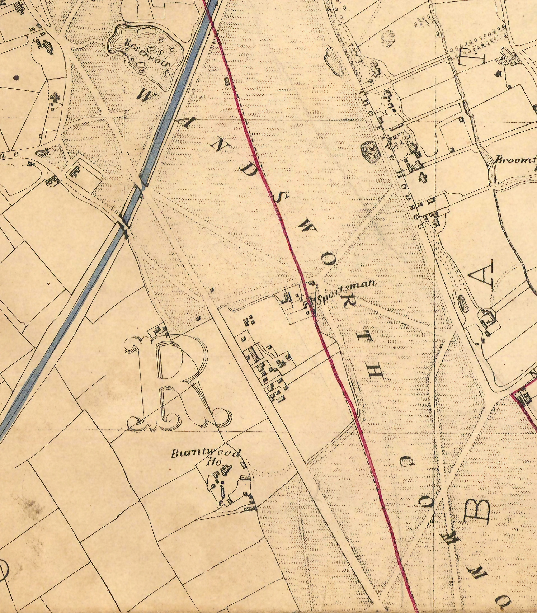
Note: this is before the new Crystal Palace Railway, and indeed before the Prison and RVPA.
Is that a Potter house on the site the of the future prison (from 1849)?
There is no sign of the County Arms, but the Sportsman was presumably the local beer shop. When exactly was the County Arms built — at the same time as the prison and Alma Terrace i.e. c1851?
The Black Sea is described as a "reservoir".
Several of the paths are still with us today, but obviously not those diagonal routes to and from bridges on the L&SWR. Was the Cat's Back Bridge built at more or less the same spot?
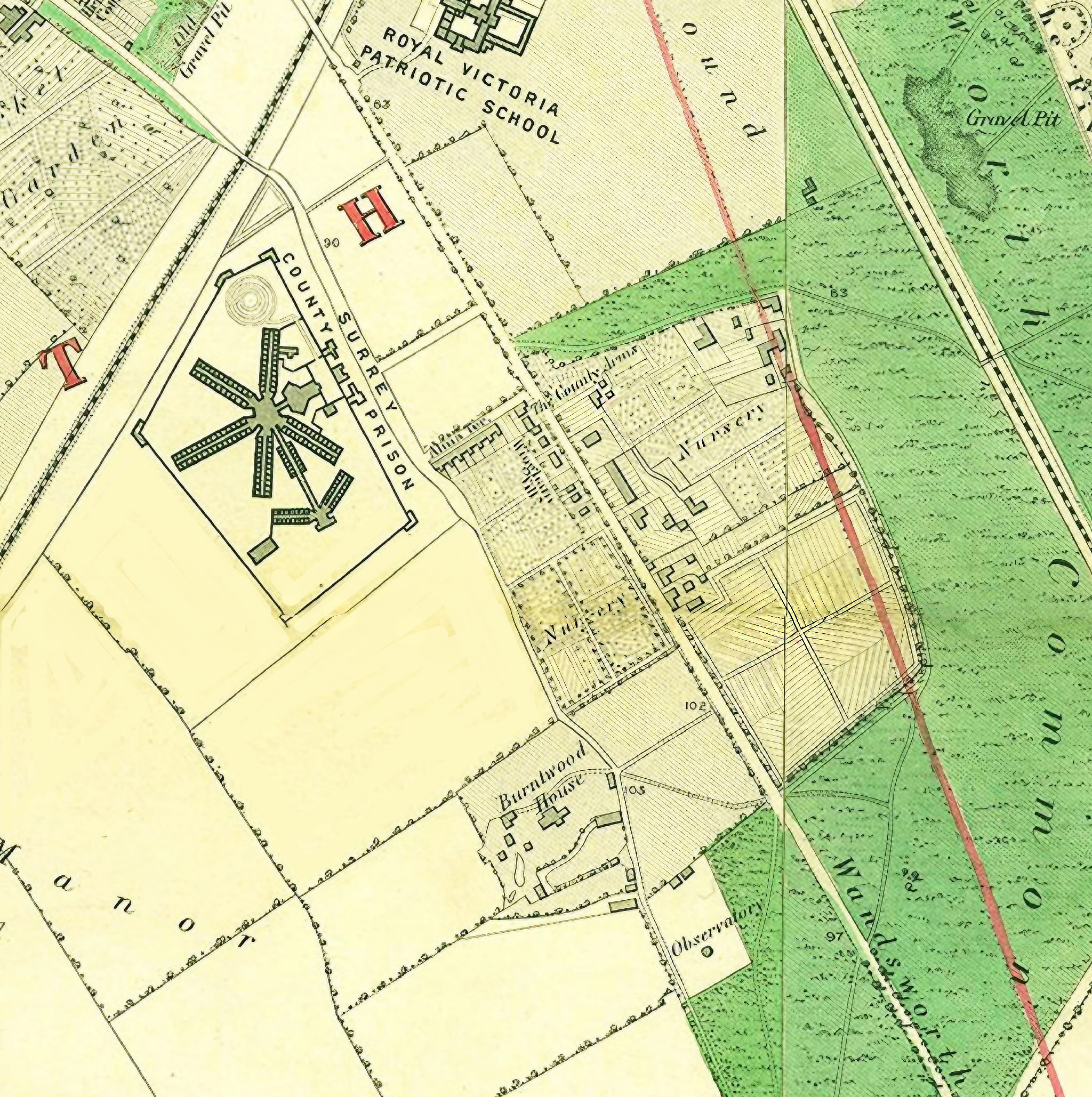

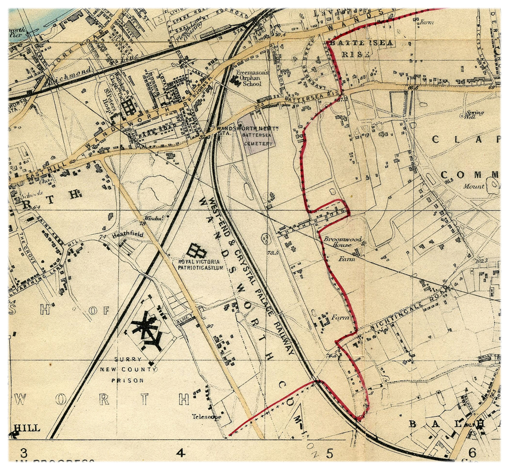
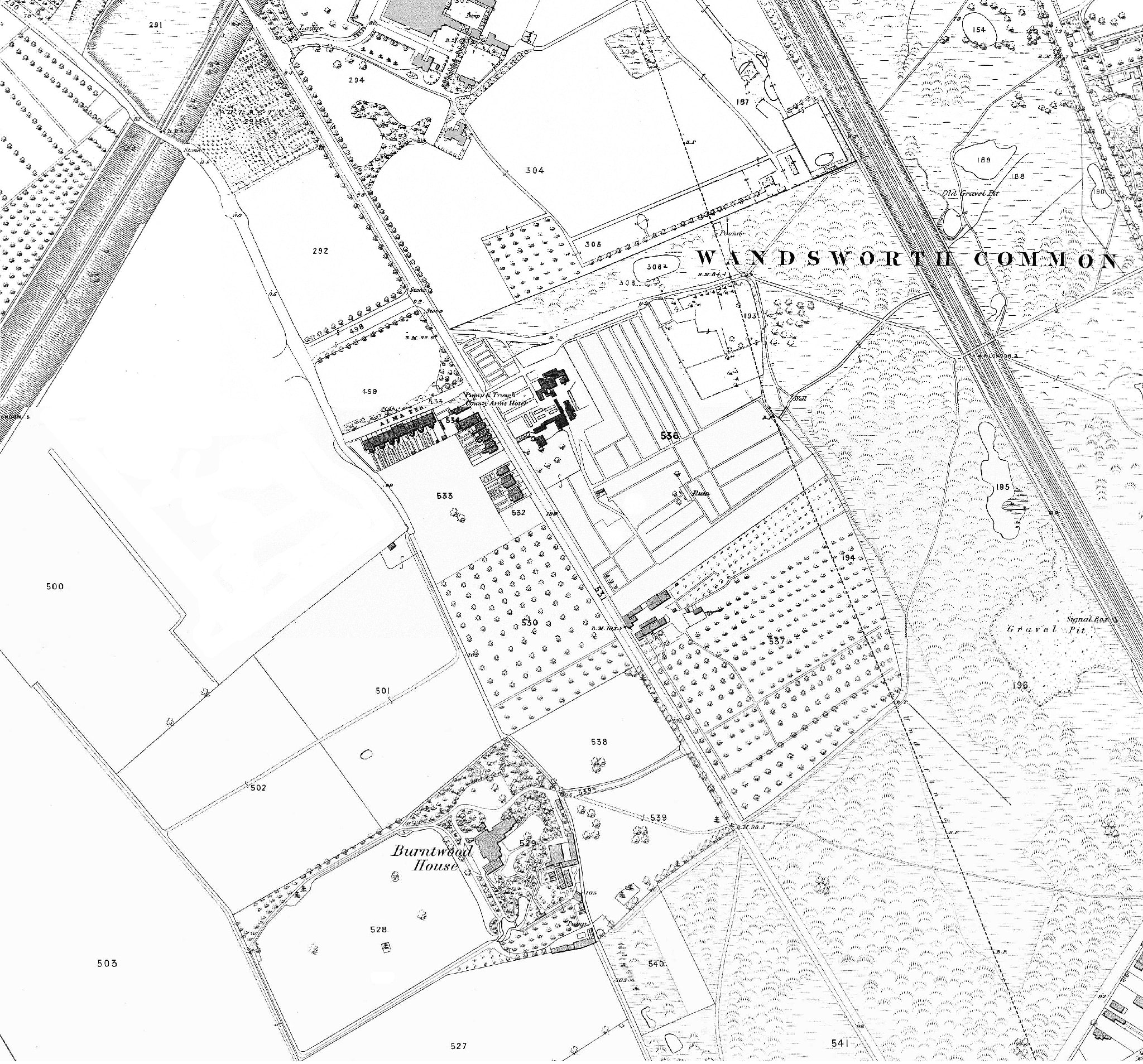
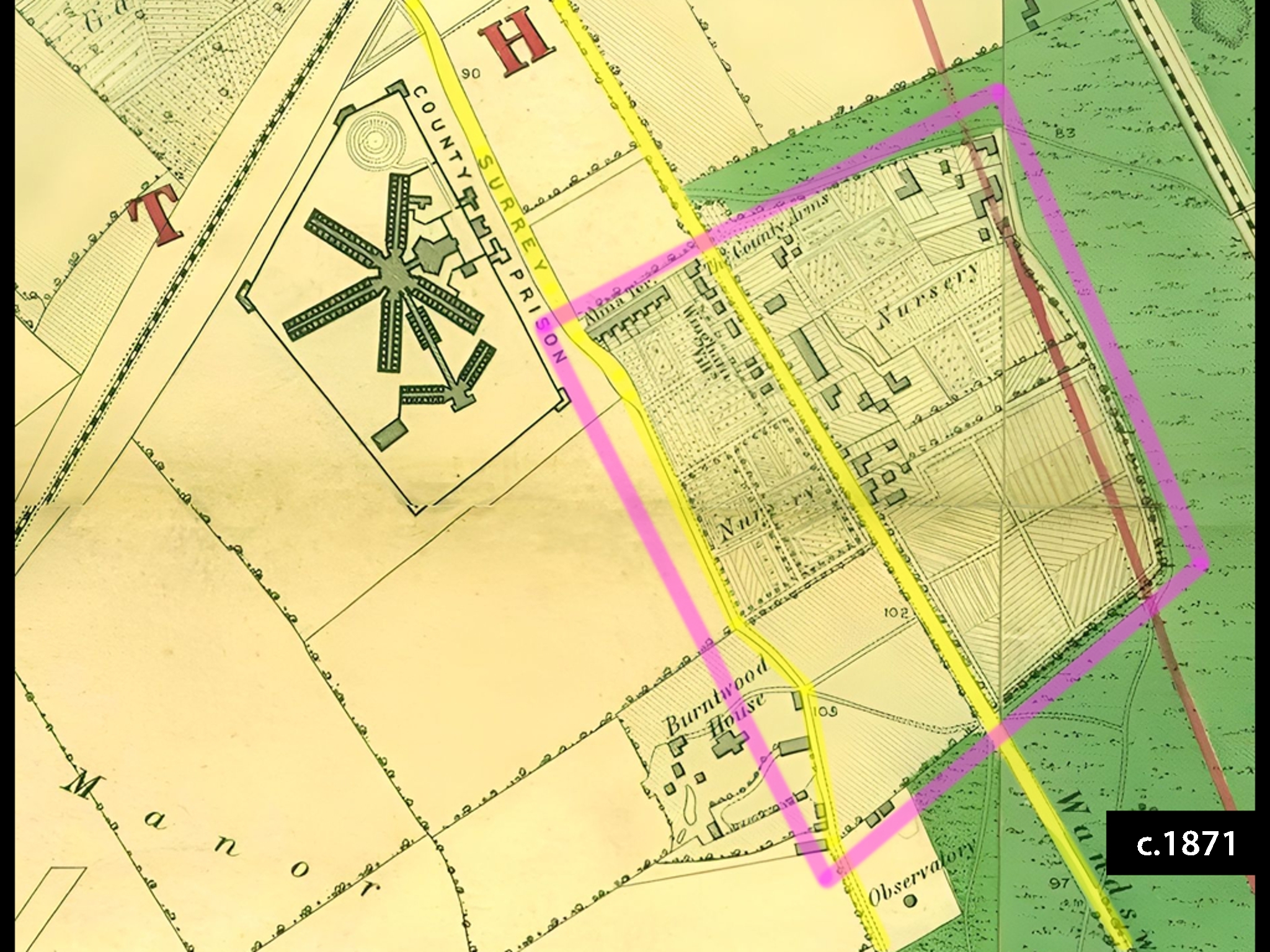
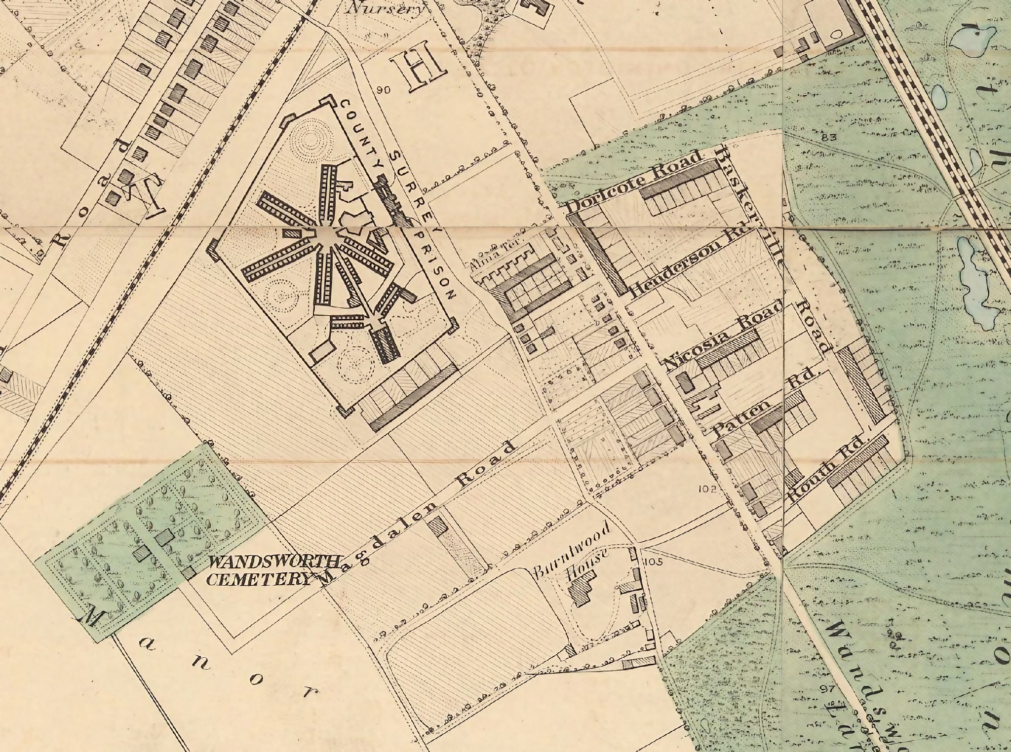
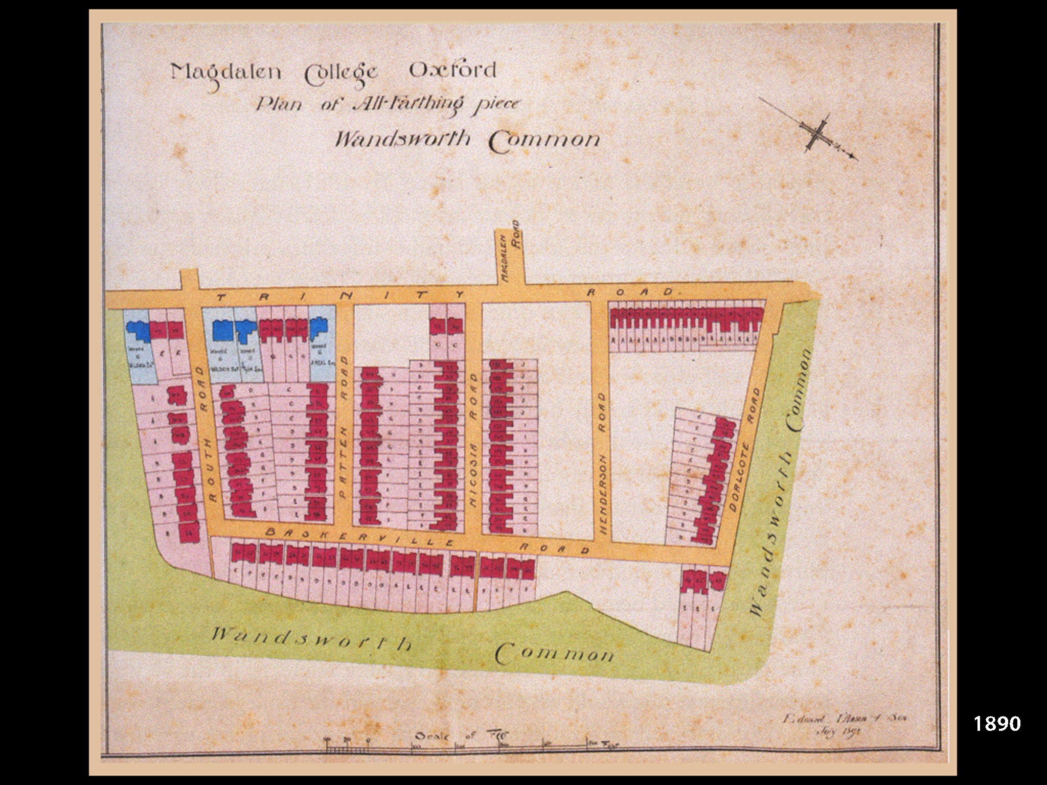
NB: I've written something about the engineer (and house-builder) "Mr Wilson" in earlier Chronicles, and in a talk. He lived in "The Beeches" on the corner of Patten Road and Trinity Road (demolished late 1970s?), which I believe he built before many of the other houses in the Toast rack. He also built, I think, the house on the corner of the Avenue and Trinity Road.
There might be something in these articles that could be useful to add here. See e.g. January 2024, and the Magical History Tour: From "The Beeches" to the "Belgian" Congo talk given January 2022.
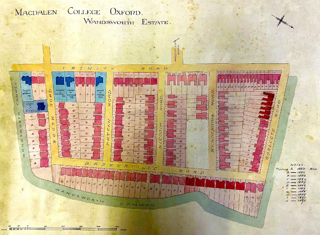
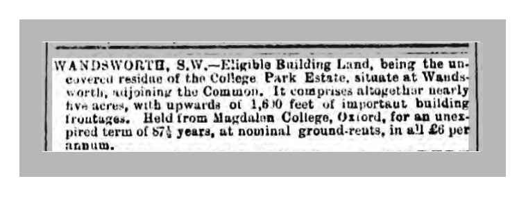
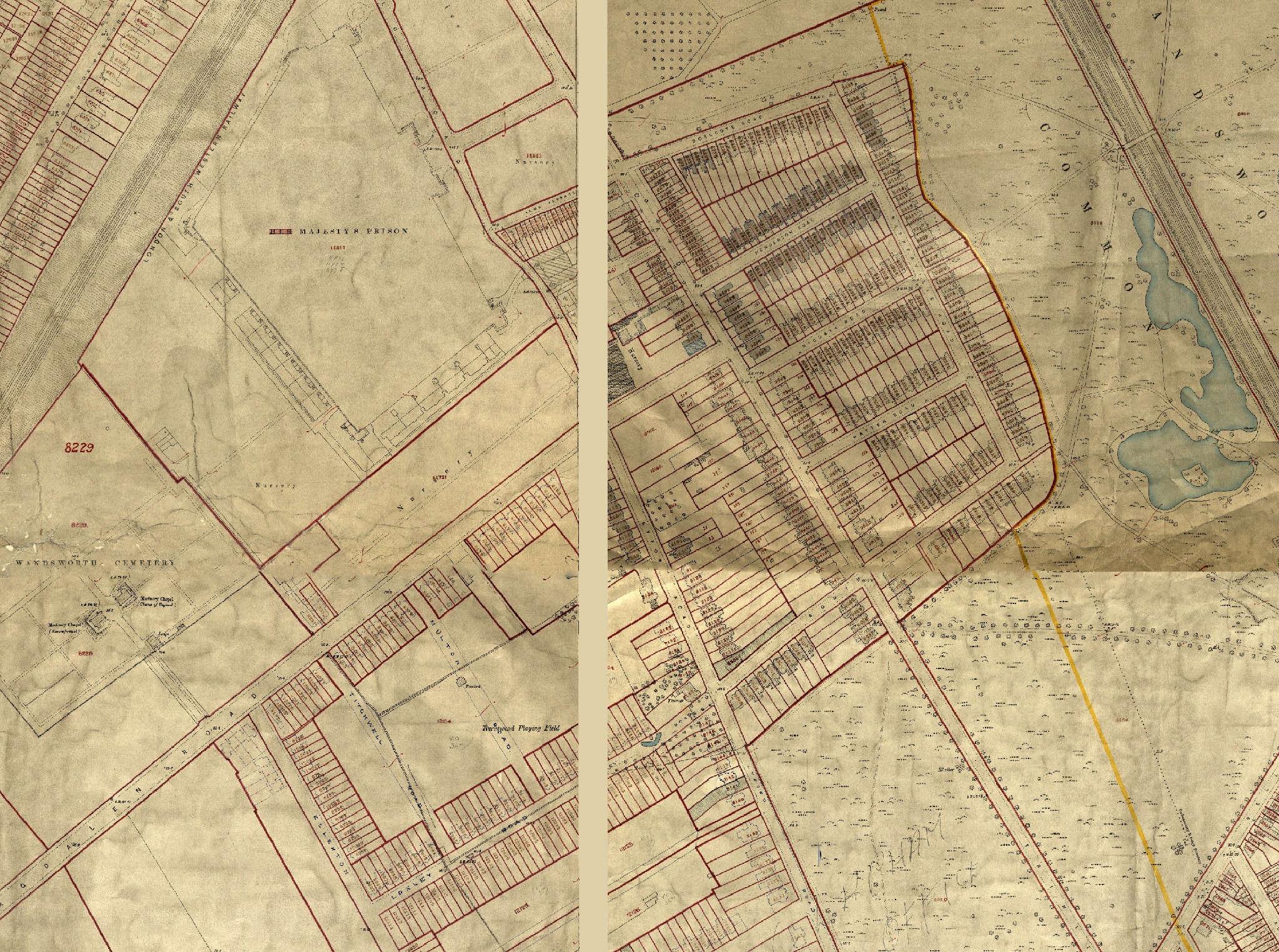
Note "Magdalena" Road and Henderson Road were intended to cross Trinity Road. Magdalena is wider (60 feet) than others (40 feet). No Baskerville or Dorlcote.
Note the intriguing projecting square opposite the County Arms leased or owned [?] by Mr Neal, as is land behind Alma Terrace. Significance? For one thing, no Dorlcote Rd.
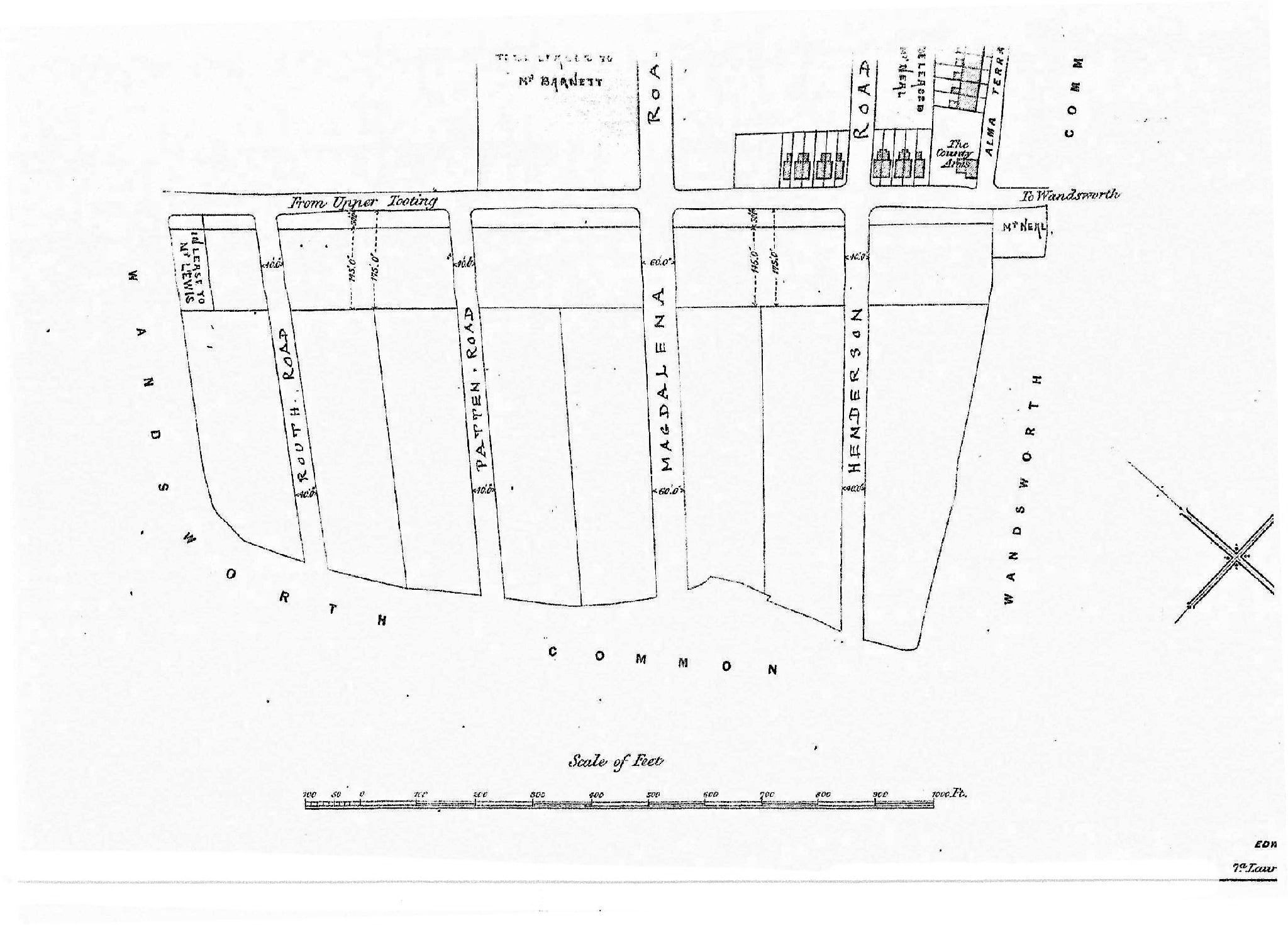
I think the houses indicated on the Toast Rack were added by hand onto an earlier map.
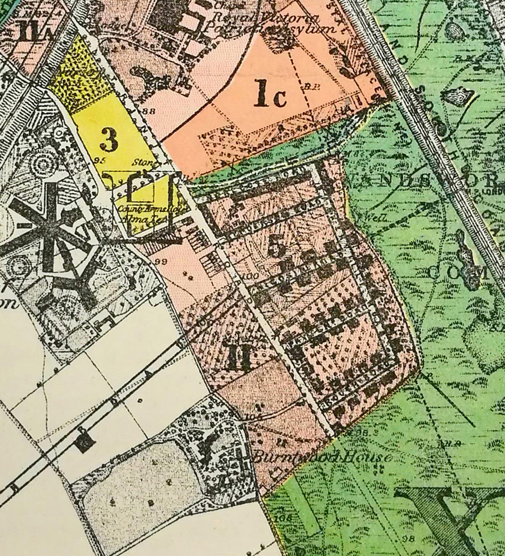
Almost, but not quite complete
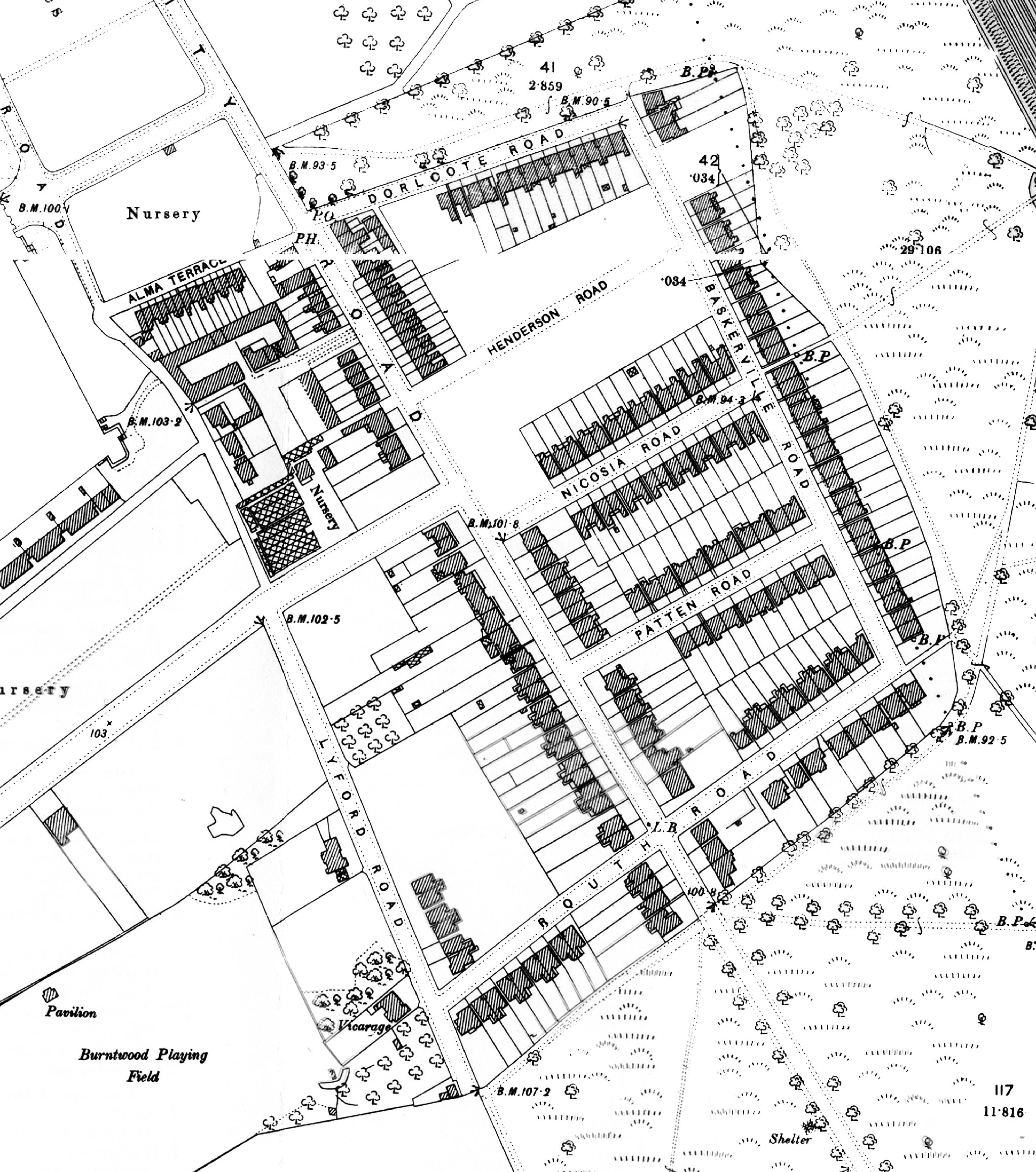

Impressive, but until the 1870s Neal's may have been larger still — perhaps 70 acres in total. At that time it probably also included much of today's "Toast Rack", together with land south-east of the prison sandwiched between Heathfield/Lyford Roads and Trinity Road (on which the South London Bowling Club now sits).
To illustrate this, let's have a look at tree nurseries in the area (for reasons that will become clear in a minute):

In 1866, Robert Neal appealed to "Noblemen and Gentlemen" to buy from his large and varied stock, which included "some very large trees". He gave as a reason, "some of my nursery grounds being required for building purposes". This was probably a reference to the area that we might call the Toast Rack but was then being branded as "College Park".
In 1874, a Neal's advert lists in detail a great many plants for sale, including several different tree species:

"10,000 Pines and Spruce, 1000 Cedrus Atlantica and Deodara . . . Cupressus of sorts . . . 200,000 Ligustrum ovalifolium [privet], 500 specimen Weeping Trees, 5000 fine Limes, 6 to 10 feet, 10,000 planes, and 10,000 other Ornamental and Forest Trees, 10 to 12 feet".
[South London Press, 24 October 1874.]
[I wonder how many descendants of these plants still flourish in local gardens?]
Notice there's also a substantial area on the west side of the railway line (opposite Heathfield Cottages), through which Earlsfield and Westover Roads now pass) may also at one time have been part of the Neals' fiefdom.
[This had previously been owned by one or both of the Potter twins, Thomas and William, born 1801. Indeed, the Potters, also nurserymen, may have owned nearly all of the land to the west of Heathfield Road. In the 1830s they sold off a slice to make way for the London and South-Western Railway, and then much of the rest to the Surrey Justices for the prison itself. The likely extent of their nurseries feature prominently on Milne's fine map from 1800. Further research is called for.]
Let's return to the 1870s, since when rather a lot has happened:

nn — Neal's Nursery
a — Wandsworth Common — the Cricket Pitches
b — Wandsworth Common — Prison Banks
c — Prison car park
d — Paradise Cooperative Community Garden
e — Prison Quarters
f — Magdalen Park Lawn Tennis Club and Bowling Club
g — Houses on former Carmichael's site and along Magdalen Road
g — Block of flats
[See OpenStreetMap or Google.]
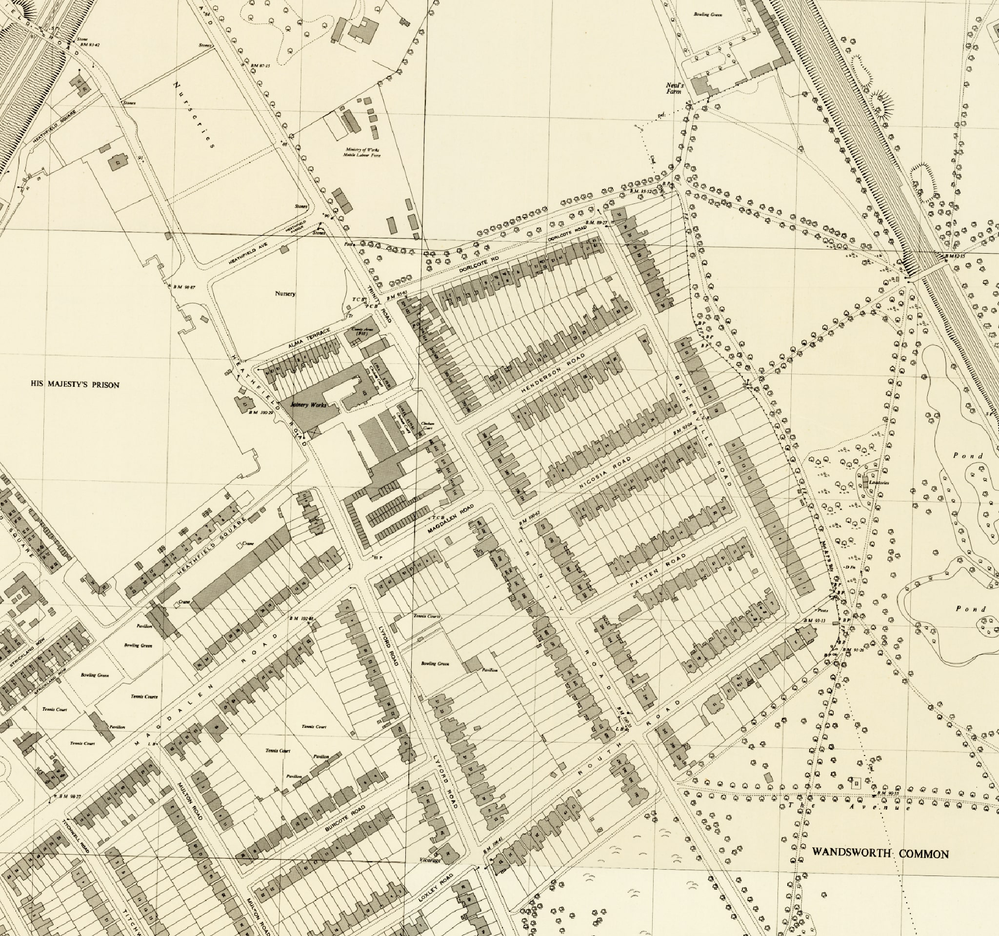
There are still no houses on e.g. Magdalen Road, "Loxley Street", Ellerton Rd. These will be built in the next few years.
Several roads are shown that will not exist for two decades, such as Titchwell, Burcote and Multon Roads.
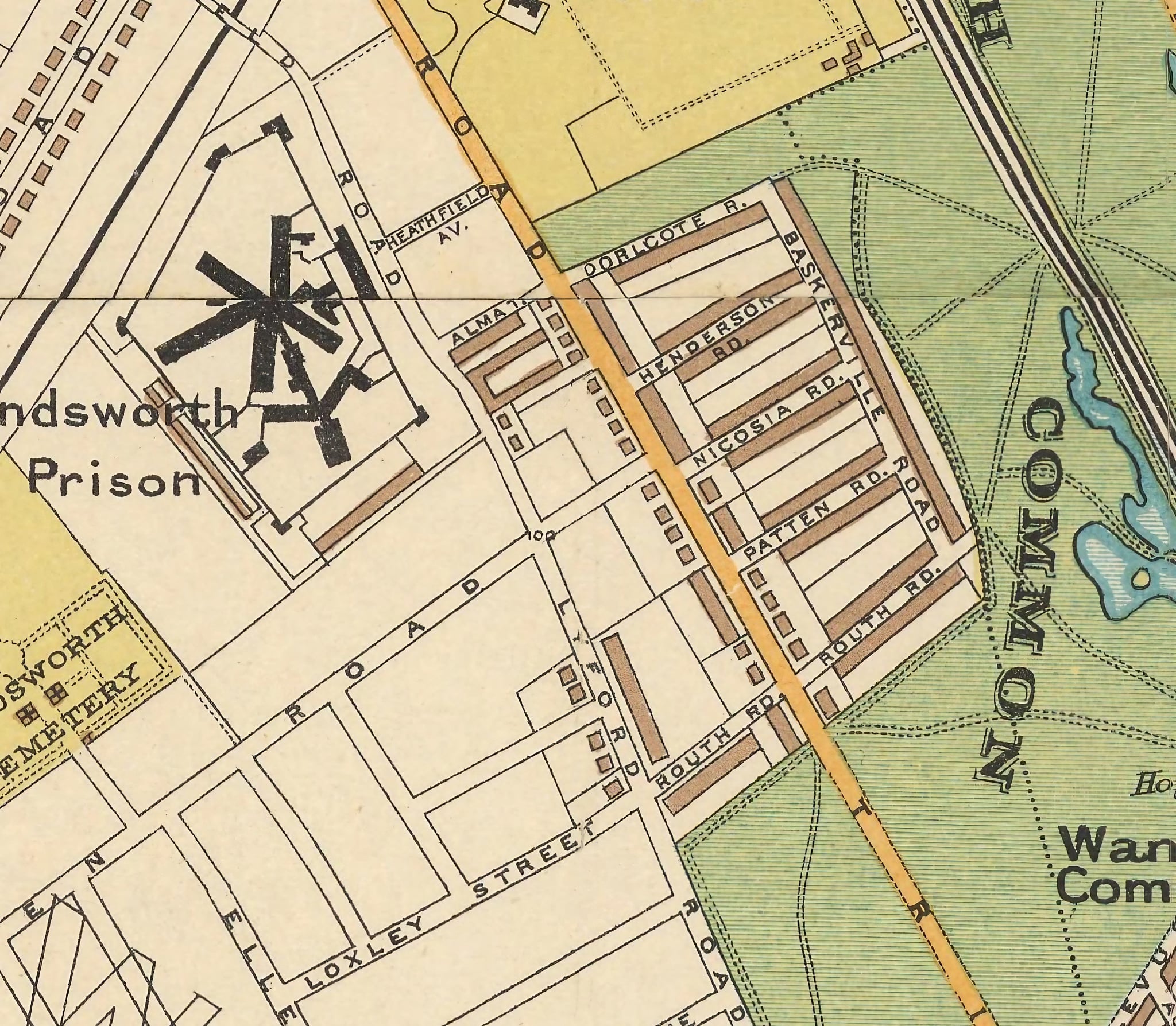
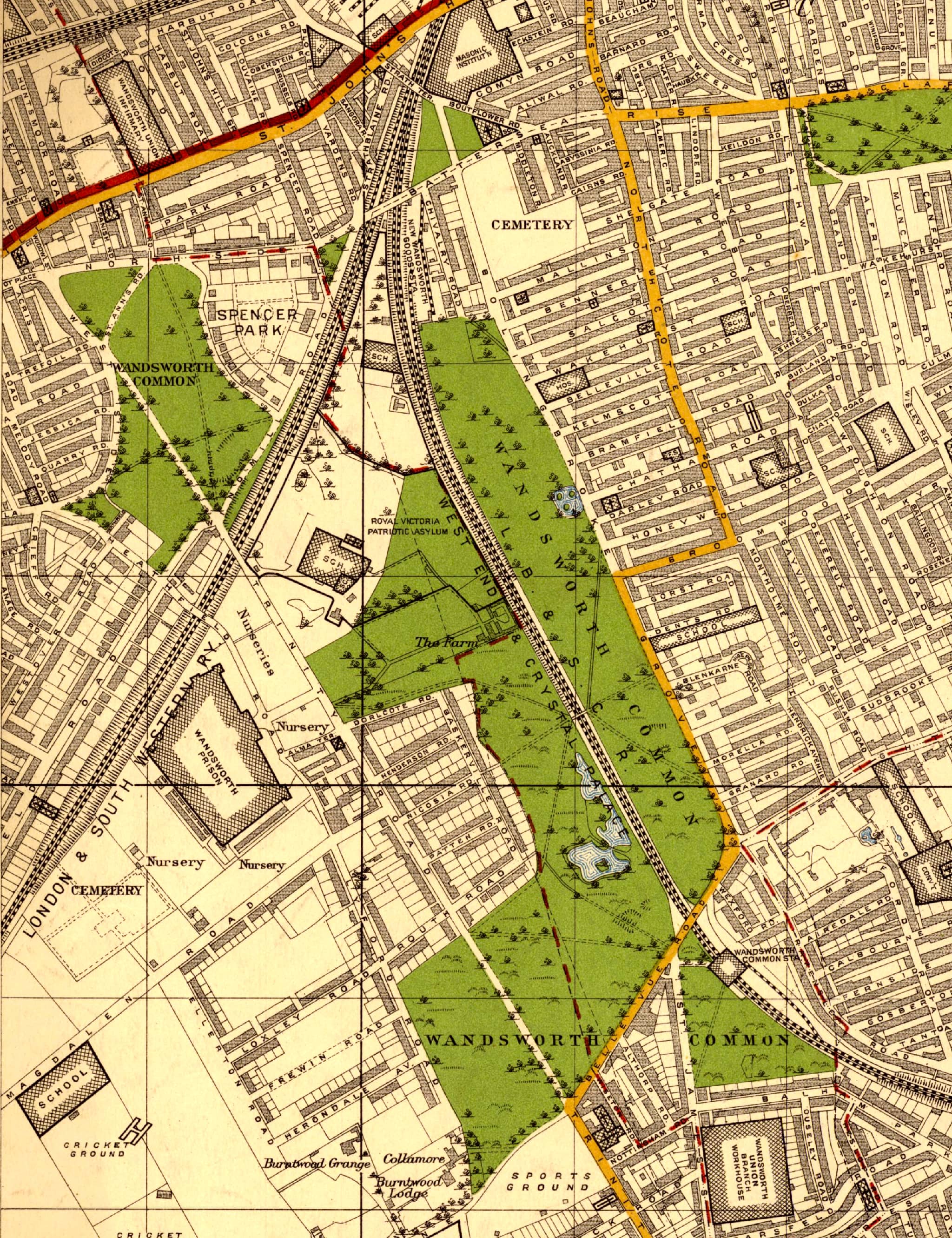
The Toast Rack is complete.
Houses have been imposed on top of an older Stanford map, which leads to some oddities — for example, a pond that once adorned Burntwood House's substantial garden appears to remain in the middle of Loxley Road.
Some new roads are named (such as Titchwell and Multon Roads) though they are not as yet laid down and will have no houses for another decade or so.
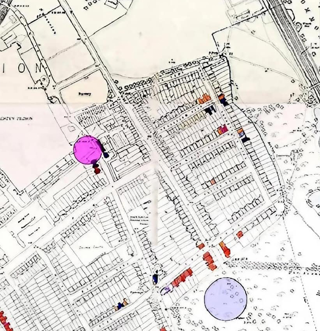
I have written about some of the blocks of flats built after WWII on the sites of bombed houses on Baskerville Road . See e.g. here


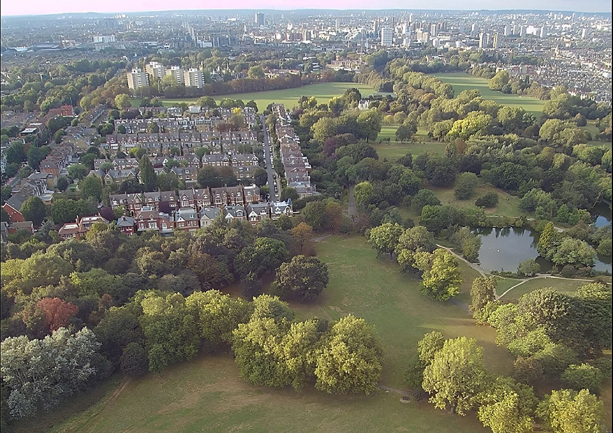
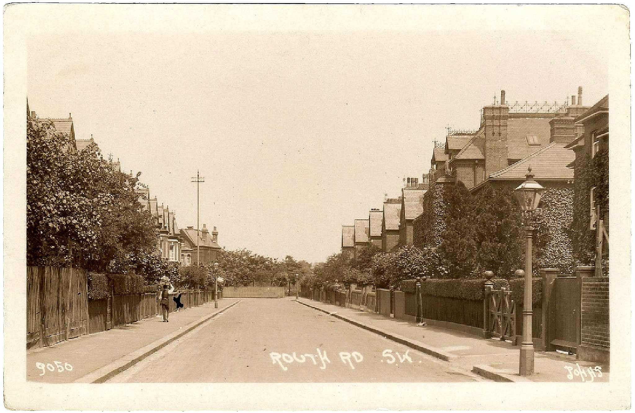
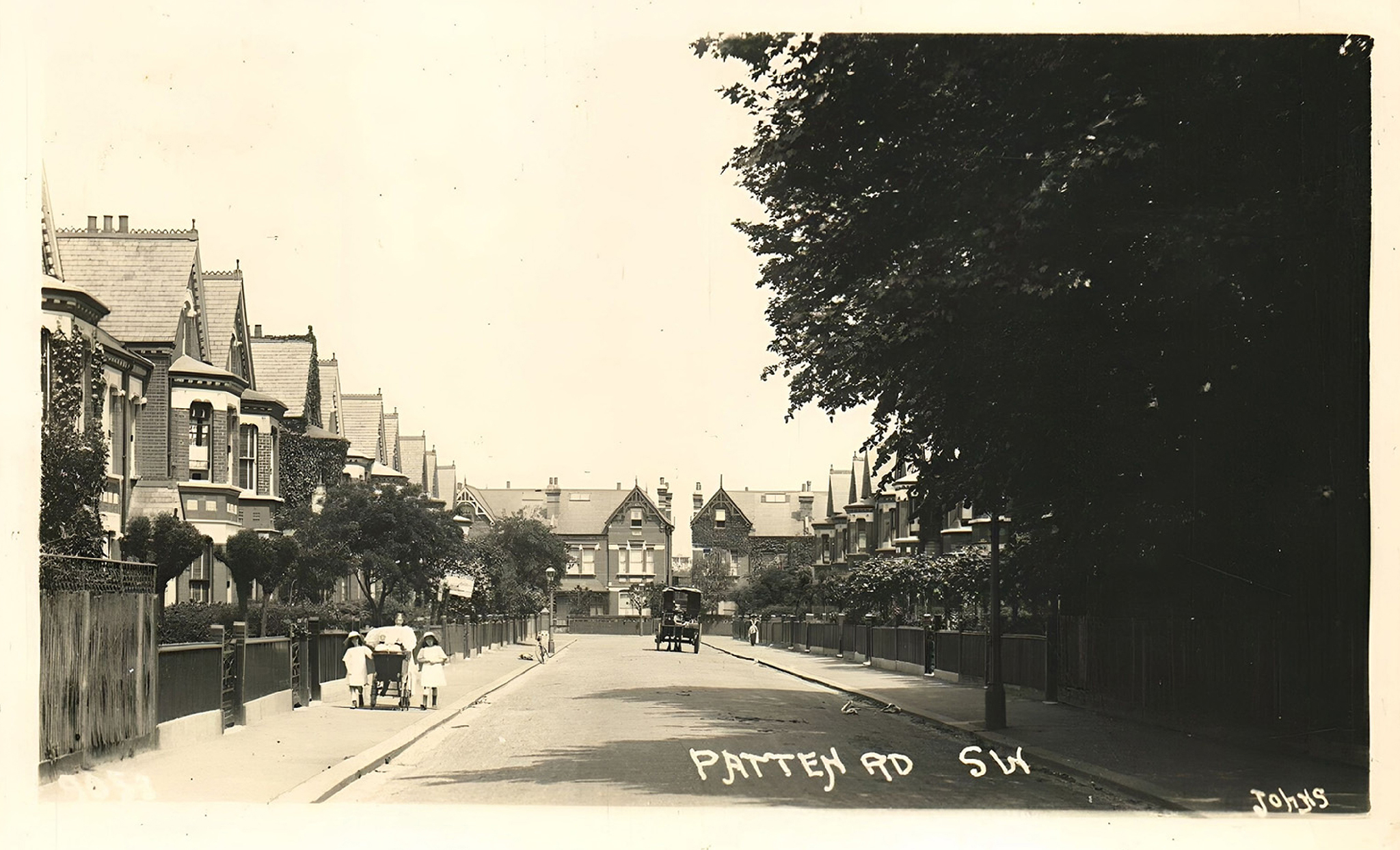
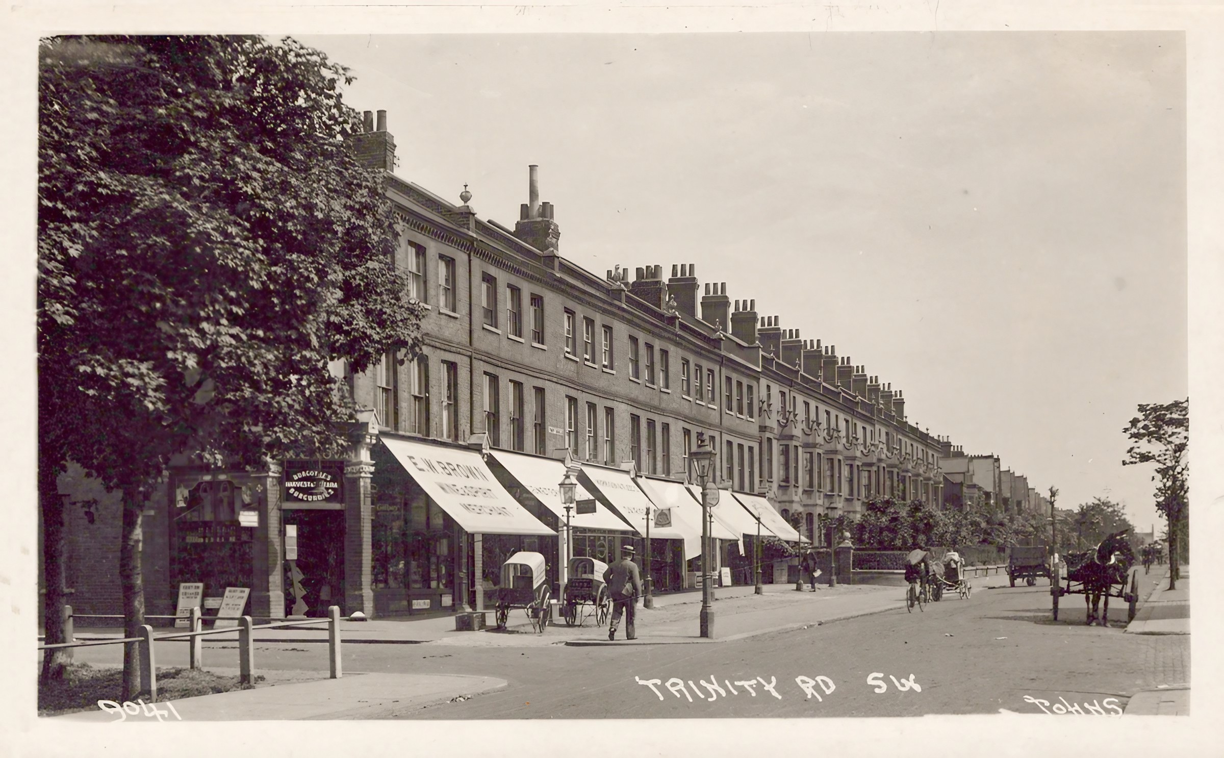
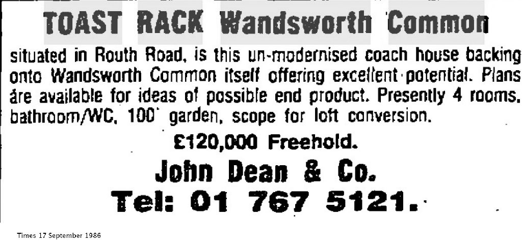
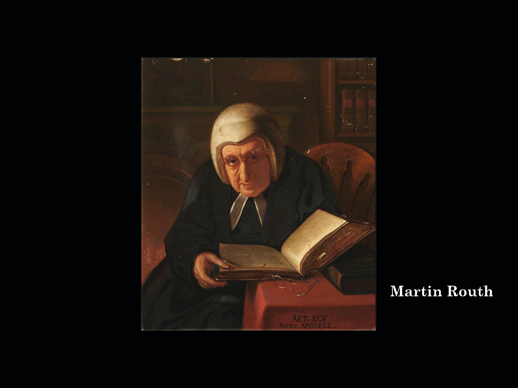
— Wikipedia: Martin Routh a useful account of his life. However, it fails to mention that Routh Road, Wandsworth Common, is named after him or that it is through his sister, Sophia Sheppard, that a large area of Wandsworth was once owned by Magdalen College — these deficiencies should be rectified.
[This article states: "In 1810, he was presented with the valuable living of Tilehurst in Berkshire, where, it is recorded, he liked to spend his holidays when not in Oxford. He married Eliza Agnes Blagrave, daughter of John Blagrave of Calcot Park in Tilehurst, a lady some thirty-five years his junior." I'm intrigued!]